

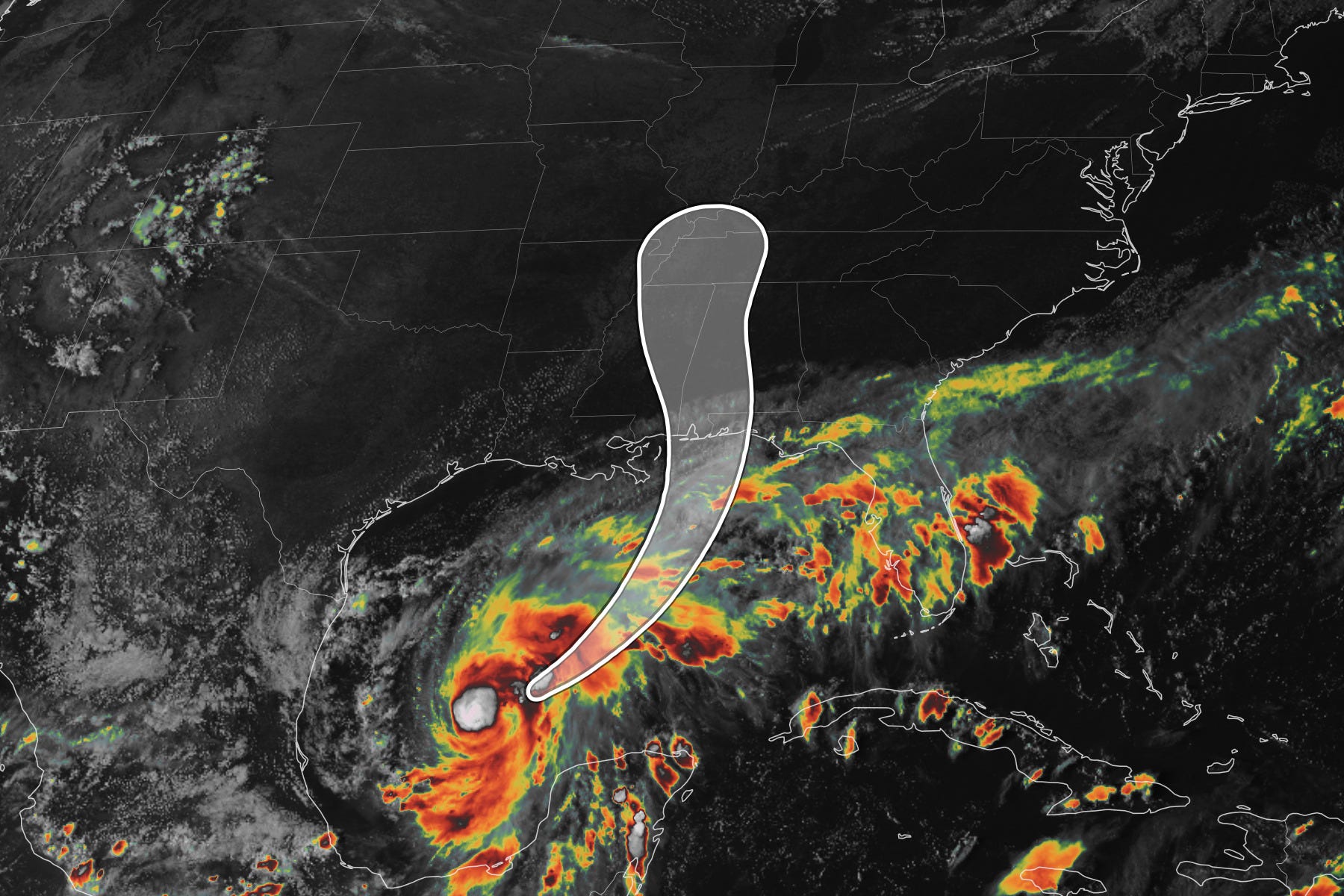
The hurricane drought in the Atlantic Ocean ended on Wednesday night when Isaias intensified into a hurricane — the first in about 342 days.
This storm will make landfall in the western part of the Florida Panhandle or coastal Alabama on Friday night, where significant storm surge and flooding is expected — likely becoming the first U.S. hurricane landfall in two years.
Unfortunately, the storm will push well inland toward the Hudson Valley, probably putting a damper on your Sunday plans.
There’s some uncertainty as to exactly when the rain will arrive on Sunday. It might be dry for at least part of the morning, but it looks like it will turn into a washout during the afternoon, with rain continuing overnight.
The storm will be a fast mover and conditions should clear out on Monday.
Meanwhile, the remnants of another hurricane will hit Southern California, Nevada, Arizona, and Utah on Sunday in what will be a wild weather weekend for the country.
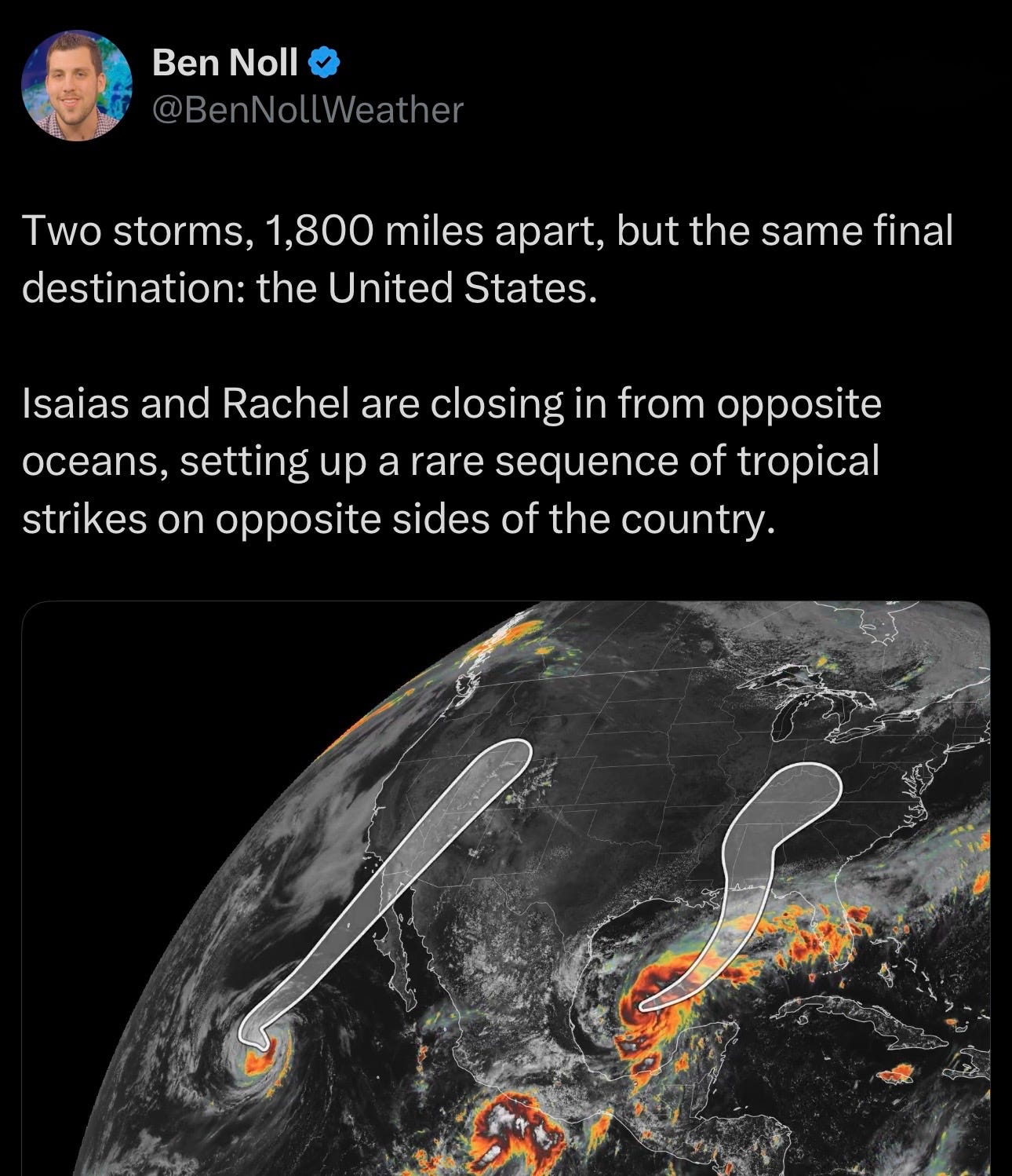
Here’s an excerpt from my story in Thursday’s Washington Post:
Hurricane warnings have been issued from coastal Mississippi to the Florida Panhandle. That includes cities such as Mobile in Alabama and Destin, Panama City and Pensacola in Florida.
In the stretch near where Isaias is expected to push ashore Friday night, storm surge of 5 to 7 feet, rainfall of 3 to 7 inches — and scattered totals up to 10 inches — as well as wind gusts up to 90 mph are expected.
“PREPARATIONS TO PROTECT LIFE AND PROPERTY FROM STORM SURGE AND DAMAGING WINDS ALONG THE WARNING AREA OF THE GULF COAST SHOULD BE RUSHED TO COMPLETION TODAY,” the National Hurricane Center wrote Thursday.
Significant weather threats won’t be confined to the coast.
Cities that will be affected by the storm, some far from where it makes landfall, include Atlanta and Savannah in Georgia; Birmingham and Montgomery in Alabama; Tupelo in Mississippi; Memphis and Nashville in Tennessee; Charleston and Myrtle Beach in South Carolina; and Asheville, Charlotte and Wilmington in North Carolina.