Tricky Tuesday PM travel
Update #431a
Good morning everyone. Heading back in to work and school this week, we (finally) have some winter weather to contend with.
It’s not a big storm, but a period of steady PM snow could set us up for a tricky Tuesday afternoon and evening commute.

What? Periods of snow, steadiest during the afternoon, possibly mixed with sleet and/or freezing rain across Rockland and Westchester County.
When? Starting from southwest (near the PA border first) to northeast (northern Dutchess County last) between 9:00 am and noon. Ending Wednesday morning.
How much? 1-3 inches during the day Tuesday and up to an additional inch or so Tuesday night. Total amounts are expected to range from 2-4 inches.
Impact? With temperatures in the 20s, snow should have no trouble sticking to all surfaces. The afternoon and evening are expected to feature slippery road conditions. Despite the relatively low snow amounts, it won’t take much to cause slick travel. Slow down and drive to the conditions!
There is a low chance for school closures and a medium chance for early dismissals on Tuesday. Schools that have a virtual option may wish to exercise it to avoid the impact of the weather.
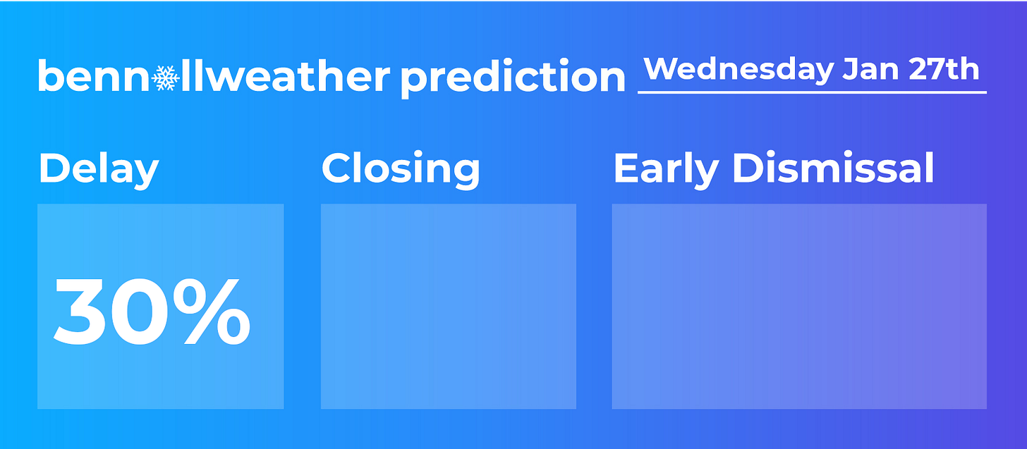
There is a low chance for delays on Wednesday morning. The snow Tuesday night is expected to be generally light with up to an additional inch possible.
Non-accumulating flurries may continue for a time on Wednesday morning.

Additional updates can be found on Twitter. Happy Monday from New Zealand!


