Final Tuesday weather update
Update #431b
Hello there! Here’s the final Hudson Valley weather update for Tuesday, January 26th. There’s little change from the previous forecast.
The National Weather Service issued a Winter Weather Advisory, which is in effect from noon today.
What? Steady snow, mainly during the afternoon and evening, possibly mixed with sleet and/or freezing rain across Rockland and Westchester County.
When? Starting between 10:00 am and 1:00 pm from southwest to northeast across the region. Accumulating snow ending late Tuesday night. You can track the snow in real-time on my Hudson Valley radar page.
How much? 1-3 inches during the day and up to an additional inch or so Tuesday night. Total accumulation of 2-4 inches.
Impact? With sub-freezing temperatures, snow should have no trouble sticking to all surfaces. The afternoon commute is expected to feature slippery road conditions. Despite the relatively low snow amounts, it won’t take much to cause slick travel. Slow down and drive to the conditions!
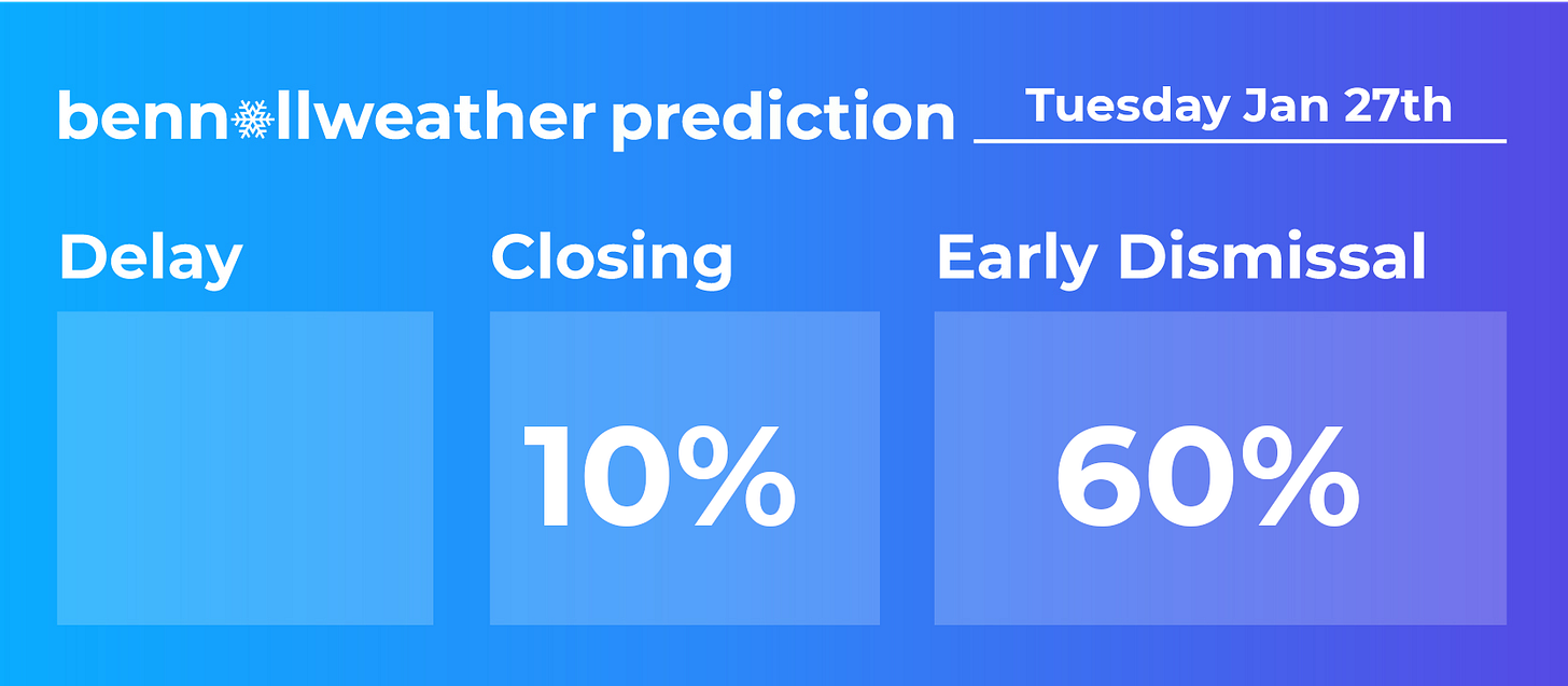
Early dismissals are expected for some districts across the region today. In fact, some school announcements have already been made.
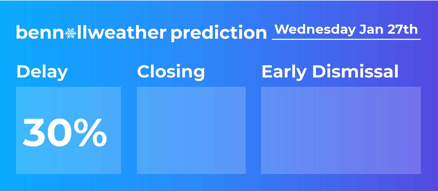
There is a low chance for delays on Wednesday morning. The snow Tuesday night is expected to be generally light with up to an additional inch possible. Road crews should be able to get things into reasonable shape by the AM commute.
It will be up to the individual districts to assess whether local road conditions are good enough for an on-time start.
Non-accumulating light snow and flurries will likely continue for a time on Wednesday morning.
Have a great day and stay safe.
PS: a frigid day is expected Friday with high temperatures only in the teens! Here’s a photo from Tuesday in New Zealand to warm you up — it reached an exceptional 103 degrees, the country’s 2nd hottest January temperature in recorded history…
If you are finding these updates helpful, consider grabbing some merch or giving a small donation.


hello