Update on Friday and Sunday weather
Update #432c
Greetings! I hope your week is going well and that you’ve managed to dig out by now.
I’ve got a quick update on the weather over the next several days. As of a few days ago, I was monitoring two systems: one Friday morning and another on Sunday.
Here’s the latest…
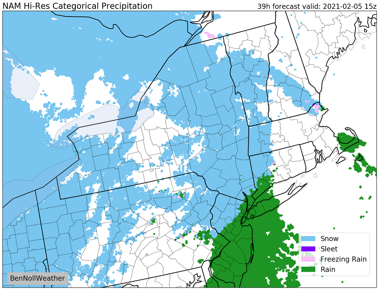
Friday morning: a front will make its way through the region, bringing a period of snow. While amounts are expected to be light, it will move through during the morning commute between 7:00-11:00 am. During that time, temperatures are expected to increase from 25 to 35, which will make the snow less likely to stick to road surfaces later in the morning. An inch or less is expected in the Hudson Valley while the Catskills may receive up to 2 inches.
Any snow that falls early in the window could stick to non-treated surfaces. Overall, it’s something to be mindful of on Friday morning. Given the light snowfall amounts and brevity of the event, widespread school disruptions have a low chance, although schools that have the all-virtual option may wish to exercise it.
Sunday: this has been an interesting forecast to watch unfold as the threat for snow is predicated on two disturbances, a northern and a southern one, joining forces at just the right time. As of now, it’s looking like the southern disturbance will glide off the coast to our south and east, but exactly how far south and east is still not known. It’s a little too close for comfort and experience says give it another day for the forecast to solidify.
A fast-moving weather pattern next week means that we’ll have to be on watch for more storms and changeable conditions.


