Hello warmer temperatures 👋
Update #437
The title says it all. The warmest temperatures so far this year are expected this week. I expect that you’ll welcome them with open arms, especially after our colder than average start to March 🤗
High pressure will be a dominant player in our weather patterns this week.
Starting on Tuesday, its position near the Southeast coast will cause a southwesterly wind flow, ushering an air mass that is currently in place over Arizona and New Mexico eastbound.
For the Hudson Valley, the result will be temperatures near or above 60 degrees on Wednesday, Thursday, and probably Friday. So get ready to open those windows and let some fresh air in! The last time the region reached 60 was Christmas Day.
Friday will come with a cold front whose timing will dictate exactly how warm it gets. It isn’t possible to accurately time fronts 5+ days in advance, but it does look like warmth will hold on for a good part of the day. Showers will also be possible.
Looking ahead to the weekend, progressively cooler air will filter in from Canada, bringing us back to reality.
Thereafter, the week of the 15th could actually be on the cooler side. With this injection of colder air, storm potential may increase. While the climatological likelihood for snow is decreasing, if all the right ingredients come together, winter storms can still form.

As spring surges into the Hudson Valley this week, it’s a sign that the spring “leaf out” isn’t far off. With temperature peaks and valleys expected over the next few weeks, it looks like we’ll be on track for a near normal April bloom.
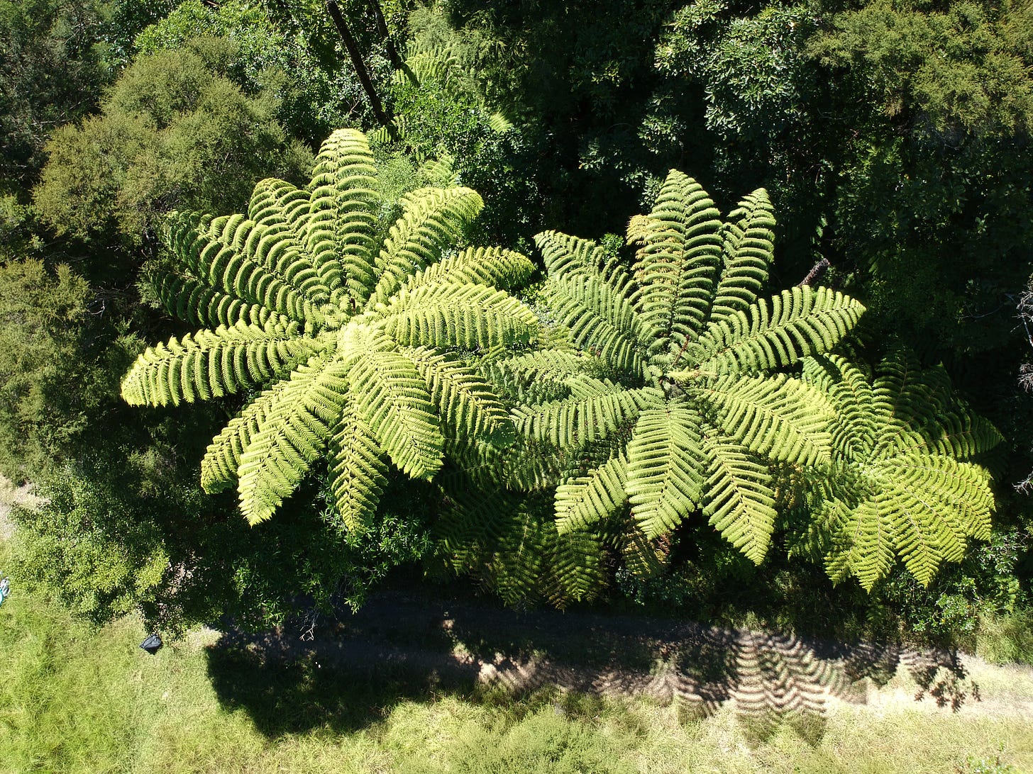
Here in New Zealand, forests are perpetually green. One of my favorites is the New Zealand silver fern, a species unique to the country. The underside of the leaves are actually silver, which makes navigating forests possible in moonlight.
These trees can actually grow quite tall — up to 40 feet.
Have a great week! 🌞


