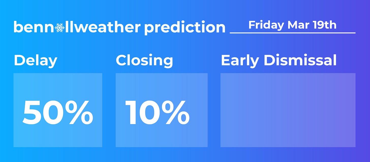
Here we go, one more snow⁉️
Update #438a
It has been a while since I’ve written a mid-week update. If you’re hearing from me, it usually means something is going with the weather!
So here’s what’s up…
Rain will approach the region on Thursday, growing steady by late morning or early afternoon. As cold air filters in on Thursday night, a possible changeover to snow could cause snow covered roads and impact the Friday morning commute.
Winter weather forecasting in March is notoriously fickle, so the details below aren’t yet set in stone…
What? Rain changing to snow.
When? Rain beginning Thursday with a changeover to snow possible between 10:00 pm Thursday-2:00 am Friday from north to south. Ending by 9:00 am Friday.
How much? A medium chance for over an inch. A low chance for over 3 inches. Accumulation will be favored in elevated, mountainous areas.
Impacts? With temperatures expected to drop into the 20s early Friday morning, roads may become snow-covered and slippery before dawn. This could impact the Friday morning commute and cause school delays. Improving conditions are expected through Friday morning as any snow would end by 9:00 am, if not earlier.
I’ll have another update on Thursday morning. In the meantime, follow along on Twitter for the very latest.
PS: milder weather is expected over the weekend, continuing next week 😎


