Weather: consistent inconsistency
Update #444
This week’s Hudson Valley weather report is coming to you from Mt Maunganui, New Zealand — just 8794 miles from the banks of the Hudson River as the crow files 🙃
The weather here has featured 70 degree temperatures with a mix of sun and clouds. Although some similarly warm weather is coming for the Hudson Valley this week, it won’t be consistent.
Today’s dreary weather will give way to sunny skies on Monday, although a breeze will make it feel a bit chilly — you’ll need a jacket during the morning!
After another cold morning on Tuesday, it will warm up nicely into the 60s.
An air mass from the Southwest U.S. will arrive on Wednesday, bringing what could end up being the warmest day of the spring so far with high temperatures near 80 🌡️ High clouds will prevent it from getting hotter.
A cold front will approach on Wednesday evening and could stall near the region through Thursday, bringing a chance for rain.
Somewhat cooler air will most likely filter in on Friday, lasting through Saturday before a warmup starts Sunday and continues into the week of May 3rd, but the details are far from set in stone.
Even as May begins, substantial variability is expected to continue with the weather…
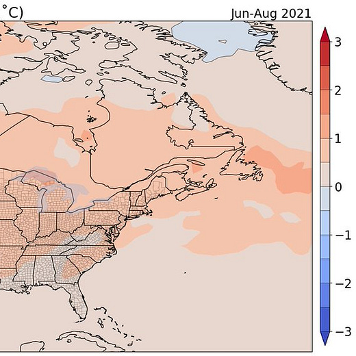
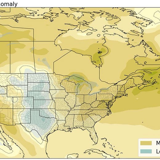
Peering deeper into the meteorological crystal ball, summer will be here before you know it and it is not looking like a cool one…
Have a great week!


