It's getting hot in here! 🌡️
Update #459
A heatwave is headed for the Hudson Valley this week, with 4 or 5 consecutive days of 90+ degree heat 🥵
The Bermuda ridge of high pressure is the culprit, setting up shop just offshore of the East Coast and bringing days of sultry southwesterly winds.
A cold front will likely blow through the region next weekend, cooling things off for a few days.
The week will start off with dry weather on Monday and Tuesday, but the heat and humidity dial will be turning up 🎚️
From Wednesday through Friday, the humidity will be downright oppressive — strenuous outdoor activity during the middle part of the day isn’t recommended.
⚡ Thunderstorm activity will be common during the afternoon and evening each day. Some of the storms could be heavy and strong, so you’ll definitely want to keep an eye on the forecast if you have plans.
☄️ The meteor shower, best viewed during the predawn hours Thursday, will probably come with partly cloudy skies in the Hudson Valley — scattered rain is unlikely but can’t entirely be ruled out at this point. ☄️
A cold front will likely track through the region later Friday or early Saturday, cooling things off for the weekend.
The week of the 16th will start off comfortable before heat and humidity builds once again.
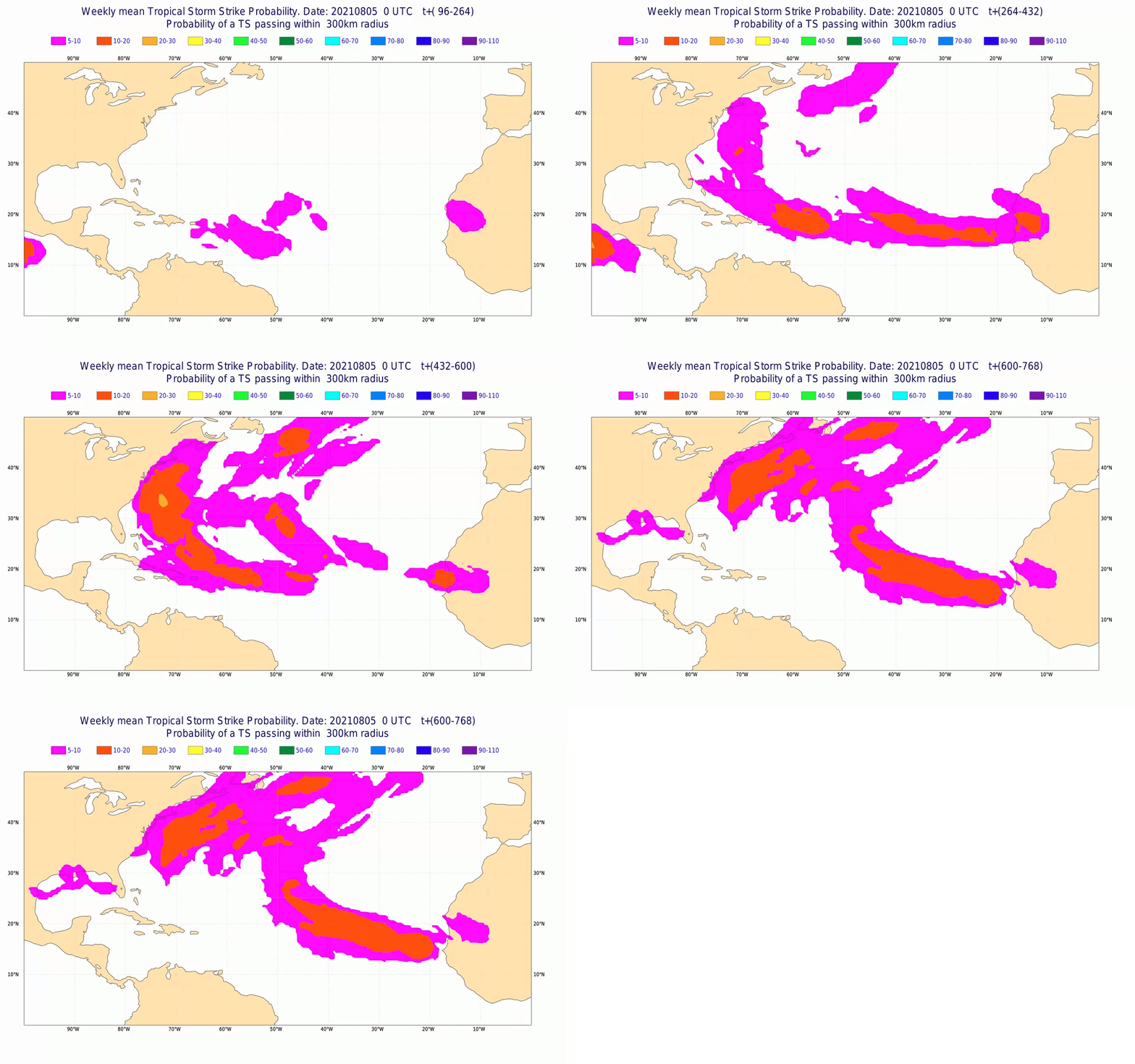
If you have a late summer vacation planned, keep in mind that the tropical Atlantic Ocean is heating up. Tropical storm and hurricane activity is expected to build in the coming weeks and anything that forms could track near the East Coast…
Had enough of the heat? Well, before you know it, a certainy four letter word will be back in the forecast ❄️
Very early indications are that the coming winter might have more similarities than differences with last winter.
My can’t-miss Hudson Valley winter outlook will be released during October! 👀

Stay 🆒 this week!


