Sunny end to September
Update #466
The end to September and start to October looks to come with a good deal of sunshine for the Hudson Valley ☀️
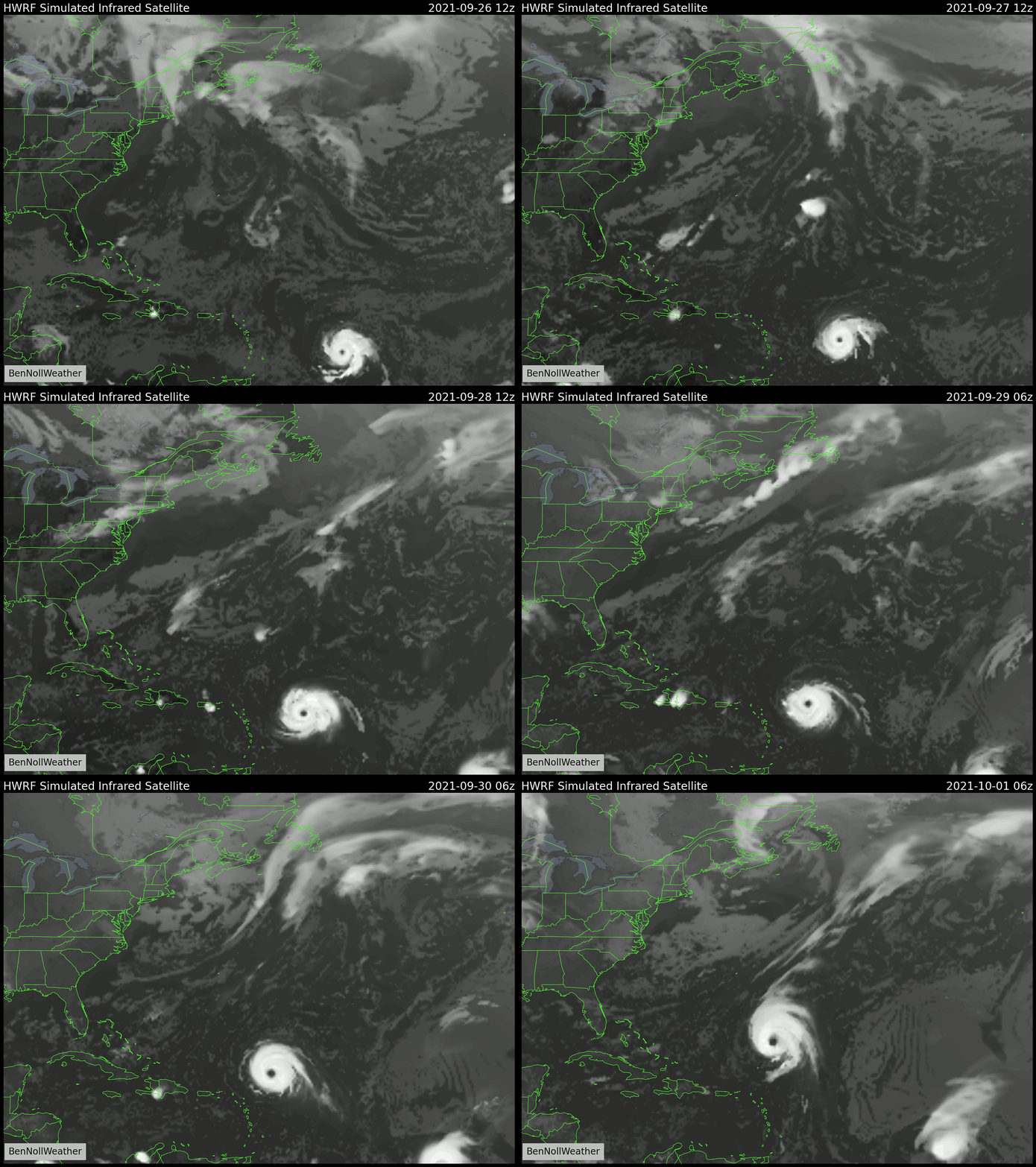
The amount of nice weather will be related to a “blocking ridge” of high pressure to our north and west. This big blocking ridge will be balanced by a strong hurricane that will fortunately pass offshore.
Hurricane Sam, an intense category 4 hurricane, will churn across the open waters of the Atlantic Ocean this week, sparing the U.S. East Coast. Bermuda and Newfoundland will have to keep a close eye on Sam’s track leading up to next weekend, when it will likely pass nearby.
In the Hudson Valley, today and Monday will have a continuation of the nice weather. A southwesterly wind flow on Monday means it will be noticeably warmer (mid 70s).
Tuesday represents the fly in the ointment over the next week. A cold front will drop through the region, causing scattered showers.
High pressure will return from Wednesday, marking the start of an extended stretch of largely dry, sunny, and comfortably cool conditions.
This type of refreshing fall weather is only with us for a few weeks each year, so make the most of it!
As the days get shorter, the average high temperature this time of the year drops about 3 degrees per week. For example, it will drop from 70 to 67 degrees this week.
Looking ahead to the week of October 4th, high pressure looks to remain dominant, which means the nice weather should stick around for a while 👌
Oh, by the way, I’ve started writing my Hudson Valley 2021-22 winter outlook.
At this point, I’ll say things are looking interesting ❄️ 👀
I’ll have a lot more to share with you on October 23rd. Stay tuned!


