Outlandishly warm October
Update #467
🔴 When the weather maps look like they’ve been covered by several coats of red paint, it typically means something unusual is coming 🎨
In the case of October, we’re looking at an extended spell of unseasonably warm conditions — the Hudson Valley will experience overnight low temperatures that are commonly 10-15 degrees above average and daytime temperatures that are 5-10 degrees above the norm.
It will be driven by a powerful and persistent ridge of high pressure over east-central North America, which will draw up warmer and occasionally humid air from the south. Early winter weather will affect the West Coast and Rocky Mountains.
What does it all mean for our region?
A later-than-normal first frost
Extended growing season
Leaves that will be slow to change 🍂
A delayed start to the heating season
With another warm day expected today (Sunday) in the mid-to-upper 70s, conditions will be optimal for getting outdoors 🏃♀️ 🏃♂️
The weather will go downhill on Sunday night as an area of rain lurks to the north. While showers will be possible Monday morning, the bulk of the rainfall activity looks to hold off until the afternoon. An area of heavier showers could cross the region and the humidity will be noticeable 🥵
Cloudy weather will continue on Tuesday and it will be marginally cooler and less humid than Monday. A few, widely scattered showers will be possible.
Wednesday-Friday all look most likely to be dry and quite mild for the time of year, although a few speckles of moisture beneath our high pressure system could squeeze out a short-lived shower or two during the afternoons.
By next weekend, low temperatures in the upper 50s would be 16-18 degrees above what’s typical for the time of year.
A deepening southerly air flow could draw up some patchy rain, although a weekend washout doesn’t look likely.
🌡️ It looks like the unseasonable warmth will stick around for the week of October 11th. It could turn out to be even more unusually warm than this upcoming week. Here’s what weeks 2-4 of October look like…
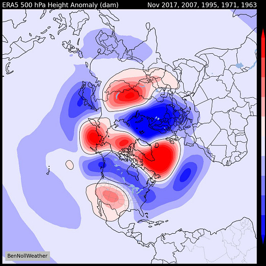
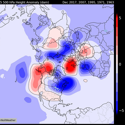
However, let’s consider that some of the region’s warmest Octobers on record tended to be followed by harsher conditions during November and/or December. It doesn’t guarantee it, but my winter outlook to be released on the 23rd will cover all the possibilities ❄️ 👀
But, before we deal with any of that, the sun isn’t quite ready to set on the warmth just yet. Enjoy and have a great week!


