
Notable November chill
Update #471

Happy Halloween! 👻 We’ve had some seriously spooky weather this month…
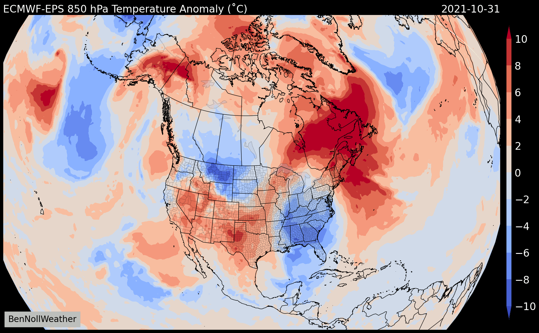
📈 Following what will likely become the 2nd warmest October on record in terms of average temperatures and warmest October on record in terms of overnight low temperatures in the Hudson Valley (over the last 91 years), we’ll have some notably cooler temperatures this week.
In a warming world, this is an example of what will become more common. The distribution of temperature anomalies is shifting to the right, which means we’ll be experiencing less cold temperature extremes and more warm ones — it also means that the winter season length, when it comes to average temperatures, will decrease and summer length will increase.

While temperatures over the coming week won’t break any records, it will be several degrees below average for the time of year and be colder than it has been in quite a while! 🥶
I’ve been keeping a close eye on whether or not we’d break the “latest first freeze” record. It’s looking like the record of November 6th from 1995 will survive. This year, the first freeze looks to occur on Tuesday November 2nd, which would place as the regions 5th latest freeze on record.

Today’s high near 60 degrees will be the last day at or above the mark for some time — it will make for good trick-or-treating weather: evening temperatures will be near 50 with a light breeze 🎃
A Canadian cold front will blow through the region overnight, setting us up for a string of days near or below 50.
Tuesday could have a few afternoon showers before nighttime temperatures drop into the upper 20s. It would be the first Hudson Valley temperature in the 20s since April 23rd.
Dry weather is expected Wednesday and Thursday with chilly nights and mornings.
Nov 2nd update: a coastal storm on Friday-Saturday that once looked to track closer to the region now looks most likely to stay offshore, sparing the Hudson Valley of rainy conditions.
High pressure is likely to start the week of the 8th along with a warming trend.
Snow trends ❄️
If we make it through the upcoming cold snap without any accumulating snow, it might mean we make it until late November or early December before our first.
Mid-November looks to be somewhat milder than the early part of the month, likely reducing the risk for snow.
I’m now processing data from a 35-day weather model that runs once per day. While predicting snow on a specific day weeks in advance is not this model’s forté, identifying colder windows with the potential for snow is possible.
The model is picking November 27th - December 1st as a window to watch. Here’s a how things are looking across the U.S. and Canada from now through December 4th…

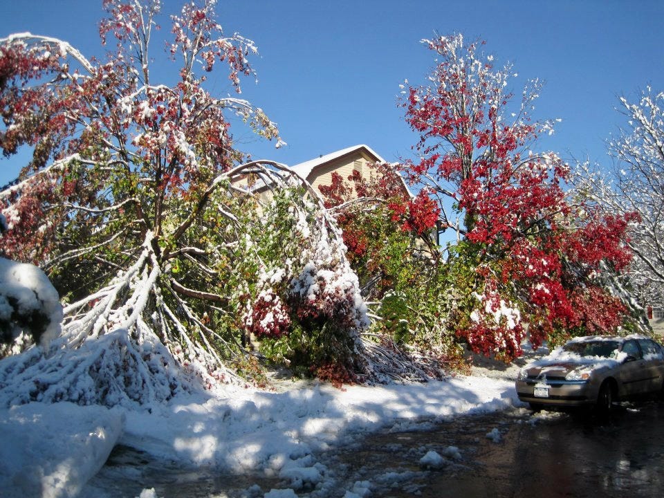
Speaking of snow, the 10th anniversary of the 2011 Halloween nor’easter just passed by. I was a junior at SUNY Oswego at the time and decided it was worth the weekend trip home to be a part of history. I’m still glad I did — that storm could end up being once in a generation. Do you remember it?

Enjoy the cooler weather this week!