Warm week for December
Update #477
Hey there 👋
The temperature reached a balmy 67 degrees between 8:00 and 9:00 pm on Saturday at the long-term weather station at Dutchess County Airport, a record for December 11th and the 4th warmest temperature this late in the calendar year on record.
Highly unusual for the time of year, it was driven by a southerly air flow from the Gulf of Mexico ahead of a cold front — the same one that caused the historic and devastating quad-state tornado on Friday night.
The front has since raced offshore, with an expansive area of high pressure building in its wake.
The week ahead will be a relatively quiet one for this meteorologist, with little risk for wintry weather.
Instead of talking about which days will be coldest, let’s flip the script and count how many days could feature high temperatures above 50…
I count four 🌡️ — keep in mind, the average high temperature for the time of year is about 39 degrees. This week last year, the temperature dipped as low as -4 in Montgomery, which is hard to fathom at the moment!
There will also be a little more sun than weeks past 🌤️
After a clear, cool Sunday, things will start off with a moderating trend on Monday with plenty of sunshine.
A weak front will nose down from Canada on Tuesday, dropping the temperature by a few degrees.
Wednesday could turn out to be the dreariest day of the week with some late day or overnight showers possible.
A southwesterly wind flow on Thursday will see the temperature reach back into the 50s. Mild conditions may hold on for one final day on Friday before a storm system and front track through on Saturday with some rain possible.
The second half of the weekend could come with colder temperatures as the gateway to chillier Canadian air opens up.
The week of the 20th could turn a bit chillier with a possible pattern change looming toward the end of the month. There is also a signal for some potentially stormy weather around Tuesday the 21st — the winter solstice.
Climate extremes in New Zealand
New Zealand is mired in a unique type of climate extreme — a marine heatwave (MHW).
Water temperatures around Auckland have reached as high as 9˚F above average, resulting in a “category 4” MHW, the strongest near-land MHW event on Earth at the moment and right in my backyard.
The peak of the ocean heatwave may have occurred this weekend, when water in some bays reached as high as 77˚F — normally, it’s in the upper 60s this time of the year.
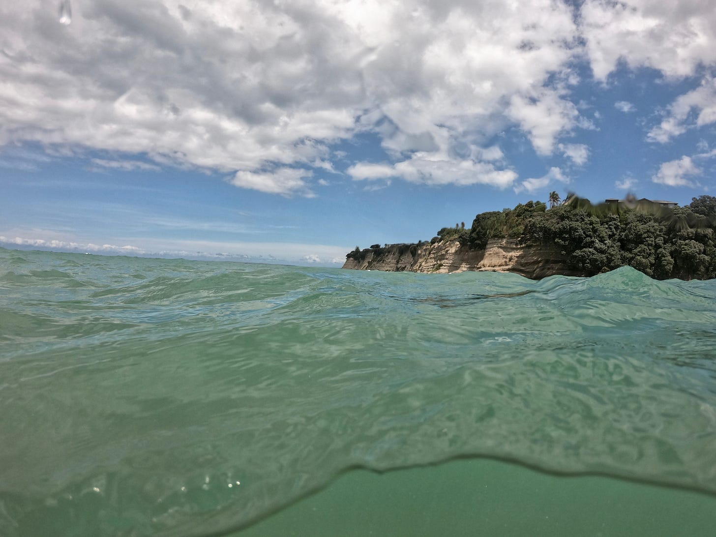
I wanted to experience it first hand, so I went for a swim. I could have been fooled that I was somewhere in the tropics.
This condition can cause widespread negative impacts on the local marine ecosystem, such as the appearance of non-native fish, causing stress on the marine creatures that call this part of the world home — and much more.


Enjoy your week!


