The polar vortex is coming to town
Update #481
Greetings!
A Winter Weather Advisory remains in effect for freezing rain across the Hudson Valley today. Skating rink-like conditions will develop this morning ⛸️
Icy conditions will continue into the afternoon, although temperatures are expected to slowly rise above freezing, allowing for a transition to plain rain.
Roads will be particularly slippery this morning until crews can treat and clear them, so it would be wise to stay at home if you can.
There is some concern for a refreeze of standing water overnight, although an increase in winds and a rapid lowering of the air’s moisture content should help to dry things out in time for the Monday morning commute.
Should the potential for school delays on Monday increase due to lingering ice, I’ll provide comment on Twitter.
Following today’s icy affair, the focus will shift to the frigid air that’s headed for the region on Monday night.
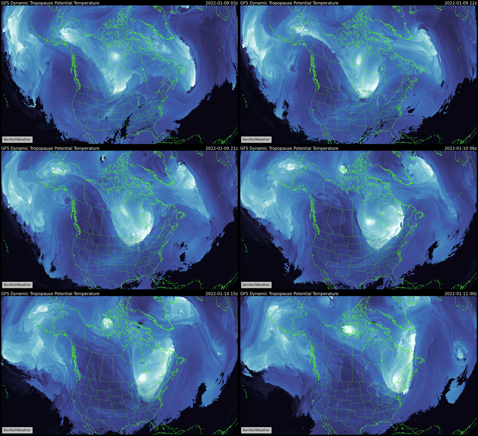
The polar vortex is coming to town

The term “polar vortex” was popularized in February 2015 when an ambush of Arctic air brought exceedingly cold weather to the eastern United States. Ever since, it’s been commonly used to characterize extreme cold.
Technically, it refers to a stormy cell of air that encircles the North Pole. Lobes of frigid air that pivot along its edges can sometimes swing into the northern tier of the U.S., causing a polar plunge in temperatures.
This is what will happen on Tuesday.
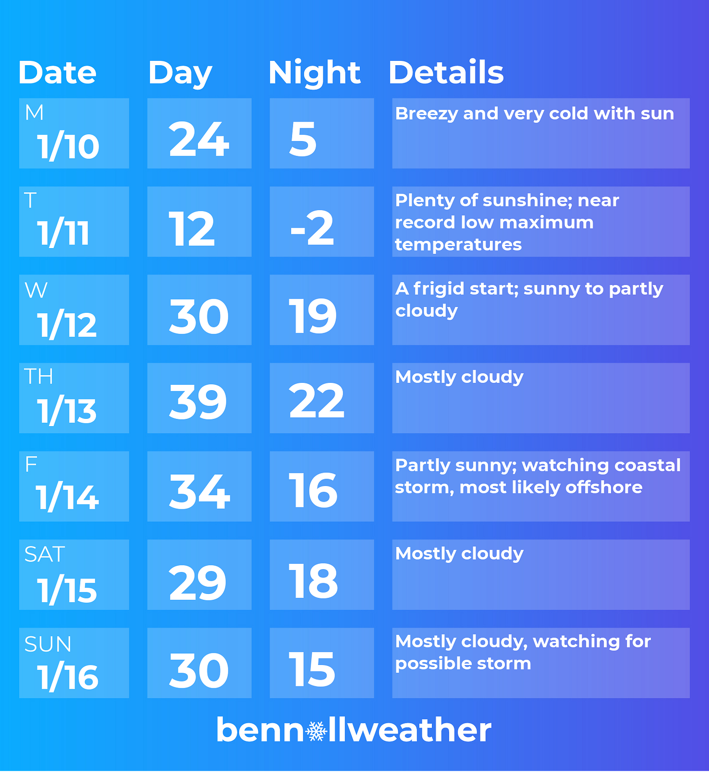
After a cold and breezy but sunny Monday, the Arctic cold front of interest will approach the Northeast on Monday night.
An outbreak of snow squalls will occur farther upstate as it passes through — a snow shower can’t be ruled out in the Hudson Valley.
By Tuesday morning, the region’s temperatures will have likely dipped into the single digits, with sub zero wind chills expected through the day. The air will also be extremely dry, so you might notice your skin becomes very dry and lips become chapped.
The coldest conditions will occur on Tuesday night, when lows near zero will be common with some towns dipping even lower 🥶
As quickly as it arrives, the vortex will depart. A return to normalcy with temperatures in the 30s is expected later Wednesday and again on Thursday.
A coastal low pressure system bears watching on Friday, but chances are that it will pass offshore.
The next weather feature of interest may approach later in the weekend. The pattern we are entering is complex with lots of moving parts, so fasten your seat belt and prepare for an interesting ride ❄️
Looking ahead to the week of the 17th, I think we’ll need to be ready for more proper wintry weather.
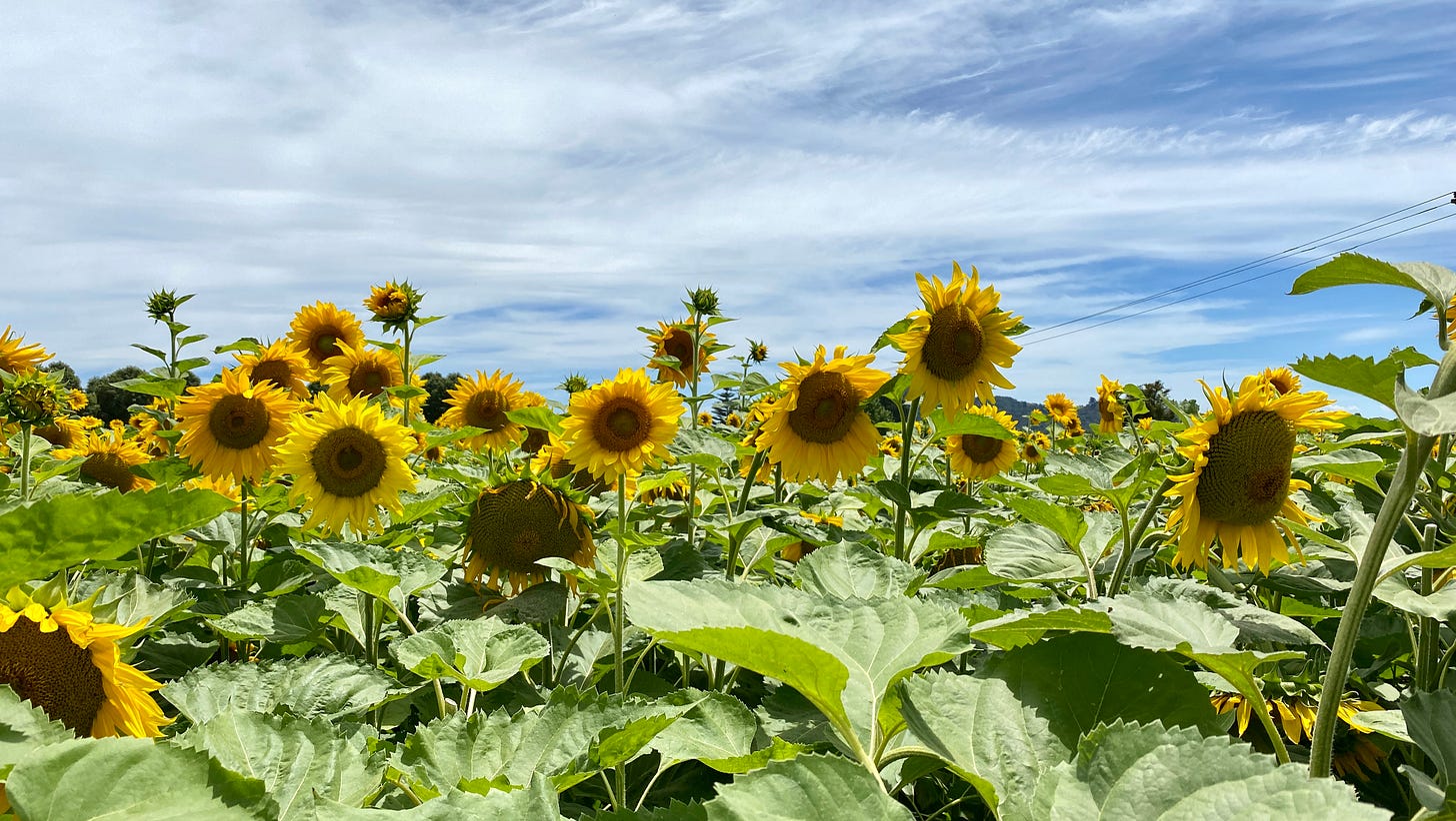
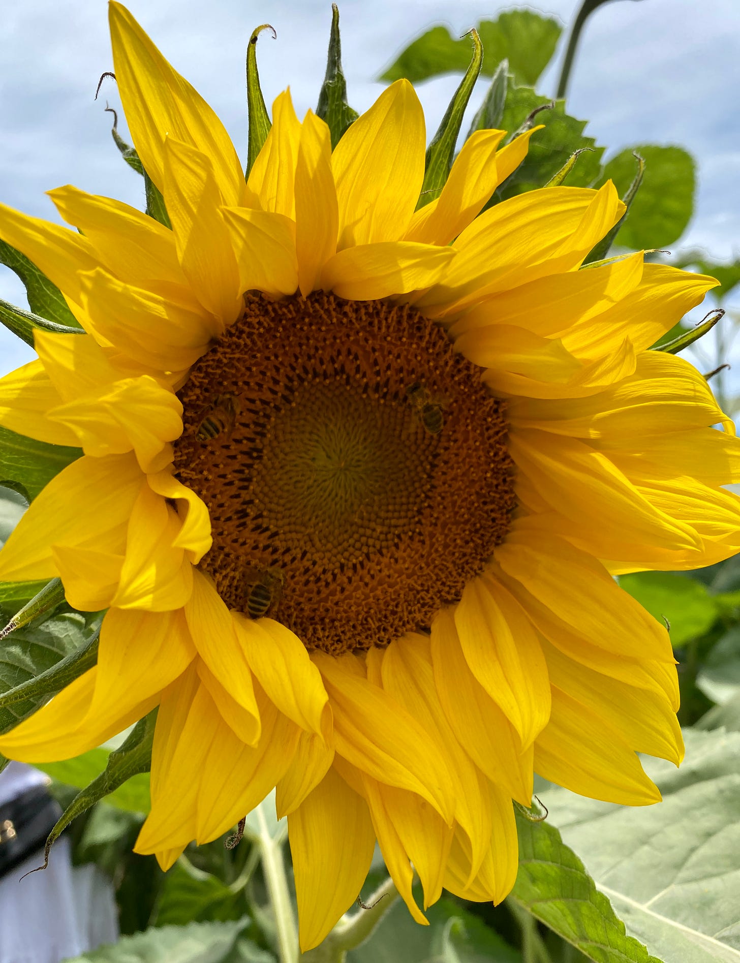
✉️ Sending a summery sunflower postcard from New Zealand 🌻
Have a wonderful week and stay warm ✌️
If you enjoyed the coverage this week, consider a donation or grab some merch.


