Ice Ice Baby 🧊
Update #484c
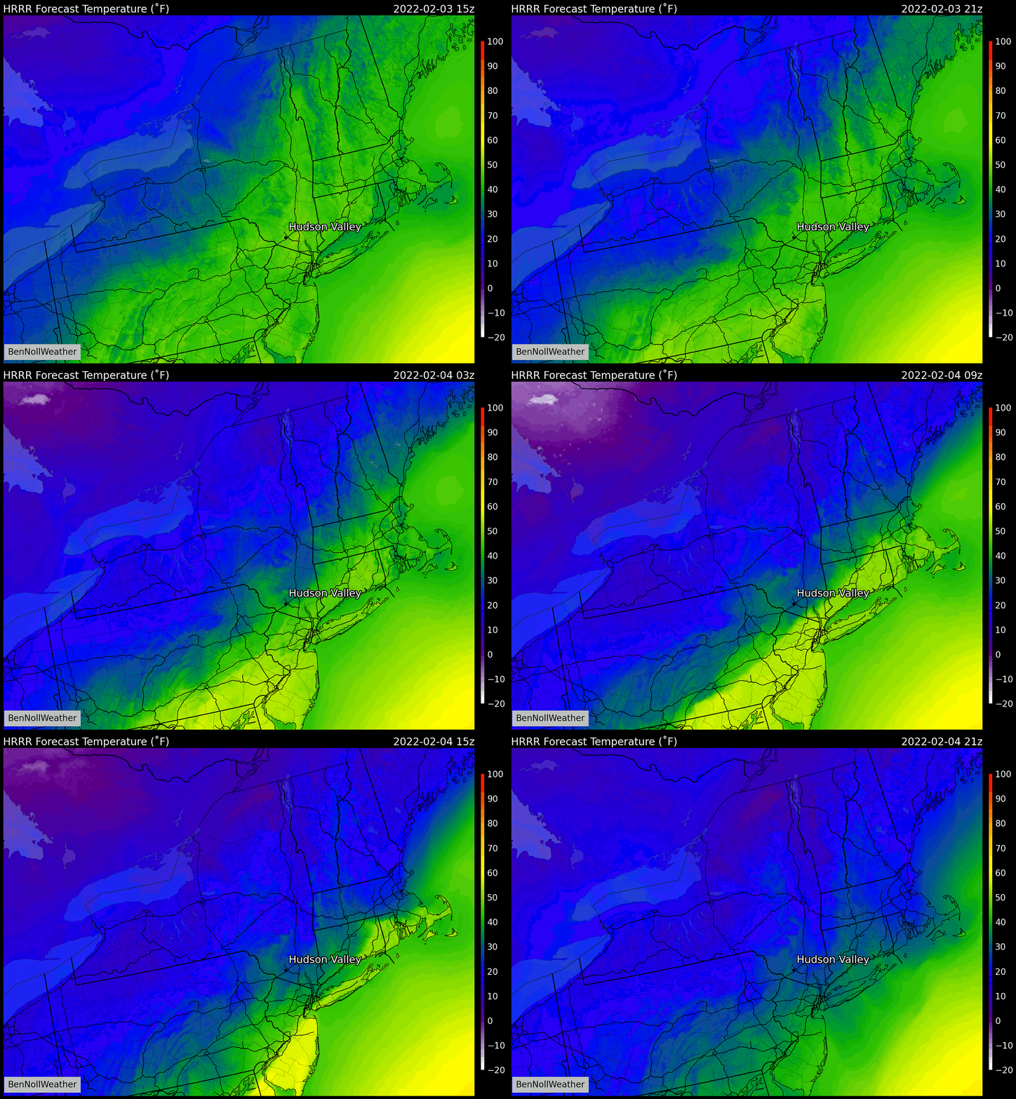
We’re in for an impactful icing event in the Hudson Valley on Friday. They say a picture is worth 1000 words, so I’ll let it do the talking…
What you’re looking at is the output from one of NOAA’s high-resolution forecast models, which produces a forecast every two miles and goes out 48 hours into the future.
The model foresees more than 0.50 inches of precipitation falling as freezing rain, with the areas contoured in yellow seeing amounts up to around an inch.
While that may not sound like a lot, it’ll be enough to encase just about everything in ice.
There is a difference between freezing rain amounts (how much falls from the sky) and ice accretion (the amount that accumulates), with the latter being influenced by atmospheric factors like wind, intensity of the freezing rain, and ground temperatures — so while 0.50 to 0.75 inches of freezing rain may fall, it won’t all accumulate.
And remember, freezing rain is like plain rain, but freezes when it comes in contact with a surface that’s below freezing (e.g., road, sidewalk)
The National Weather Service has issued a Winter Weather Advisory for the entirety of the region covering this threat. The start and end time depends on the county.
What? Plain rain today. Rain gradually transitioning to freezing rain between the hours of 1:00 - 7:00 am Friday morning, from north to south. Freezing rain continuing Friday morning, possibly mixing with sleet and snow Friday afternoon.
When? Rain changing to freezing rain between 1:00 - 7:00 am Friday, from north to south. Wintry mix ending by Friday evening. This event will impact both the AM and PM commute.
Where? The icing threat covers the entirety of the mid and lower Hudson Valley and Catskills. One uncertainty is how far south the sub-freezing air manages to push. In the worst case scenario, it would push all the way to near NYC. A less intense outcome would involve it pushing to around I-287. This means that the most challenging freezing rain vs plain rain forecast is over Rockland and Westchester County.
How much? A moderate to significant icing is expected, with amounts commonly in the 0.25 to 0.40 inch range and exceeding 0.50 inches in parts of the area. A light accumulation of sleet and/or snow is also possible.
Impact? Deteriorating road conditions before or during the Friday morning commute, depending on your location. Icy conditions continuing through the day and during the afternoon commute, especially on untreated surfaces. Think about alternative travel plans and working arrangements. School closures are expected. Scattered power outages are possible, although widespread outages appear unlikely as the winds will be rather light. Conditions will remain slick even after precipitation ends due to very cold temperatures Friday night and Saturday.

This will be my final email update for this storm. Follow along on Twitter for school percentages around 6:00 pm on Thursday evening.
Stay safe and thank you for supporting the hours of meteorological analysis done each week to provide a unique service for the Hudson Valley.


