Cool end to April, no heat in sight
Update #495
Greetings everyone! 👋
After a week that brought a little late season snow and sleet to the Hudson Valley and a blanket of white to the Catskills, a rude awakening to my hibernation, you might be wondering when the weather will turn warmer.
Not yet! But, patience is a virtue.
Despite the cooler conditions, lower amounts of precipitation will make the weather more palatable this week.
The weather today (Sunday) and tomorrow will be similar: dry with highs in the low-to-mid 60s, bang on average for the time of year.
Tuesday will have a chance for showers, mainly from mid-morning on, as a cold front pushes toward the region.
The cold front will make its presence known starting Wednesday, with below average temperatures and a stiff wind.
Wednesday afternoon could have a passing rain, snow, or sleet shower 🥶 as the wind gusts to around 30-35 mph 🌬️
A stretch of dry weather is expected from Thursday-Saturday as afternoon high temperatures increase ever-so-slowly, but morning temperatures hover near freezing.
There’s a sign that a late weekend disturbance could pass near or south of the region, but little detail is possible this far in advance.
Looking ahead to early May, it’s the type of weather pattern that’s more sweatshirts and warm socks than sandals and sunglasses 🤷♂️
We’ll be waiting a few more weeks for any signs of summer-like heat ⏳
Meanwhile, in New Zealand…
On Saturday, the weather was perfect for a short road trip or roadie as they’re called here.
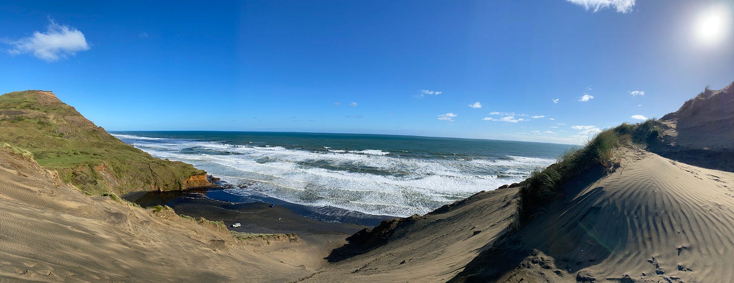
Although I’ve lived in Auckland for over six years, this is one place I haven’t been yet — the region’s biggest sand dune!
This 400 foot behemoth is found at a place called Hamilton's Gap, a lesser known beach in Auckland's south. The climb is nearly vertical in parts with sheer cliffs, but the view from the top is worth it!
See for yourself 👇
Have a sand-sational week! 😁


Thank you so much for sharing. I learned something new today which is always a good thing. Beautiful!