May it get warmer soon!
Update #496
Greetings all! Ben here, checking in with another update on this 1st of May.
Chapped lips are synonymous with mid-winter in the Hudson Valley, but late April? Not really! This past week, the region experienced exceedingly low levels of moisture and plenty of wind, a perfect recipe for making it feel colder than the thermometer says — and drying out your skin! 🧴
As the books closed on April, monthly temperatures ended up a few tenths of a degree below normal. While last April was warmer, April 2020 was even cooler. April can be an aggravating month, weather-wise 🙄
For the weather nerds, here’s the month from the perspective of the upper atmosphere: a trough of upper-level low pressure (in blue) hung over the northern tier of the U.S., fueled by a stronger-than-normal northern branch of jet stream (black contour). This influenced changeable weather for the Hudson Valley and frequent disturbances from the west and northwest.
A pair of blocking high pressure systems, one over Greenland and another north of Alaska (in red), helped to dislodge Arctic air and send it toward the mid-latitudes. Thinking of them as “atmospheric stop signs 🛑”, they also allowed the weather pattern to stagnate, with only very brief spells of warmer conditions.
All of it might have you wondering: May it get warmer soon? 😉 Maybe a little, but you may have to wait a little longer!
Here’s the outlook for the next week: two decently warm days with several cool, rainy days mixed in. The week will yo-yo from bad to good to bad to good and back to bad again 🤷♂️
After a dry day today (Sunday), a front will approach the region tonight and tomorrow, causing a cool and damp start to the working week.
Tuesday’s weather will be much improved, so take advantage of it!
Wednesday will take another dreary turn before the pick weather day of the week arrives on Thursday 🌤️
Friday will probably start off OK before the next disturbance approaches the region from the south and west. The best case scenario is that Friday turns out dry, while the worst case is that rain starts relatively early.
The weekend outlook looks complicated at the moment. A low will be skirting south of the region. It’s another best case/worst case situation: best case is a dry weekend (lower chance), worst case is one with rain both days (lower chance), with the most likely outcome at this point being some rain on Saturday.
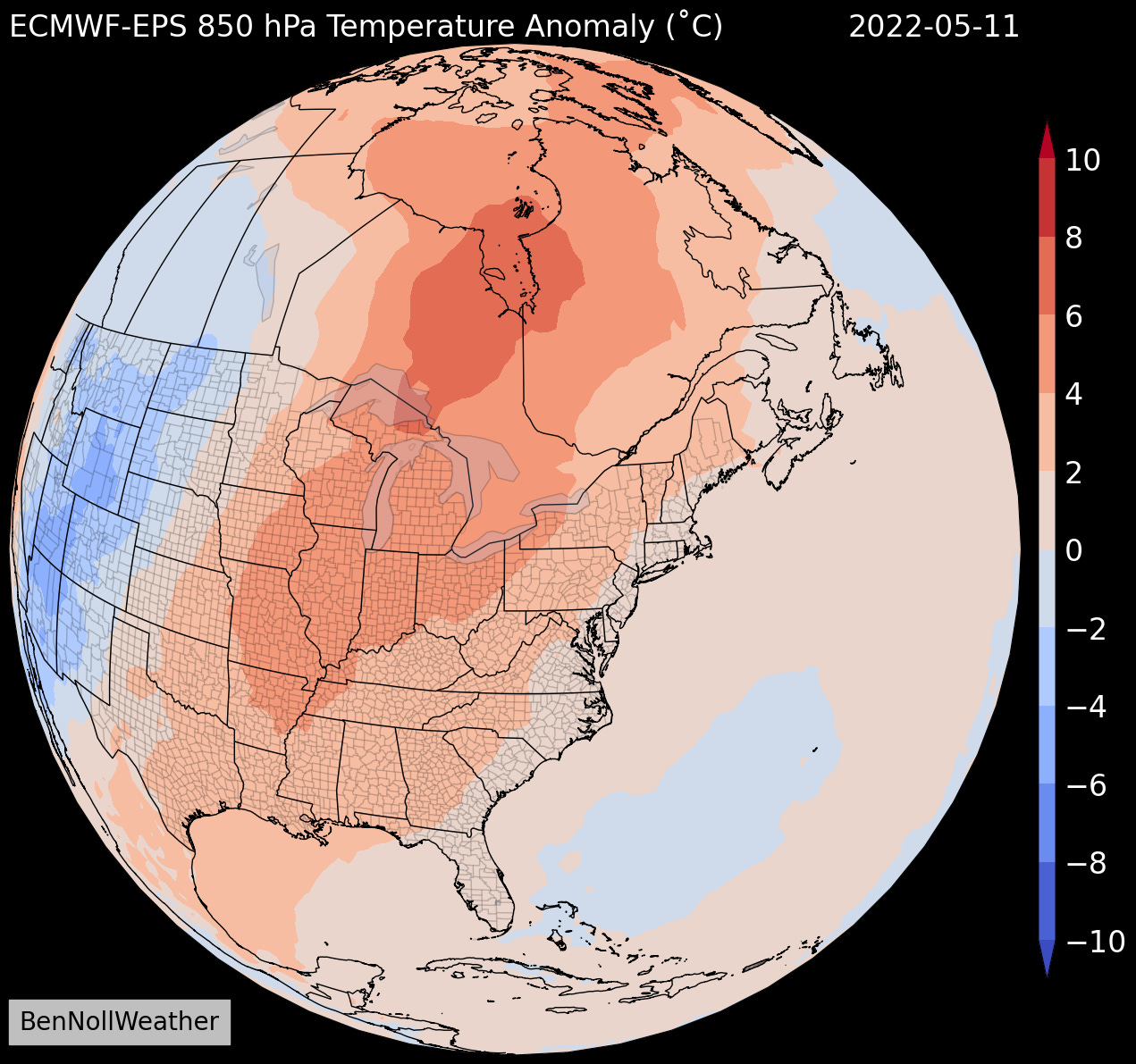
🌡️ Looking ahead to the week of May 9th, there’s an indication that things will turn warmer! The northern branch of the jet stream will weaken, making it less likely for cold air to infiltrate the Northeast.
With all this cool weather, it’s hard to believe that school will be out for summer next month! 🏖️
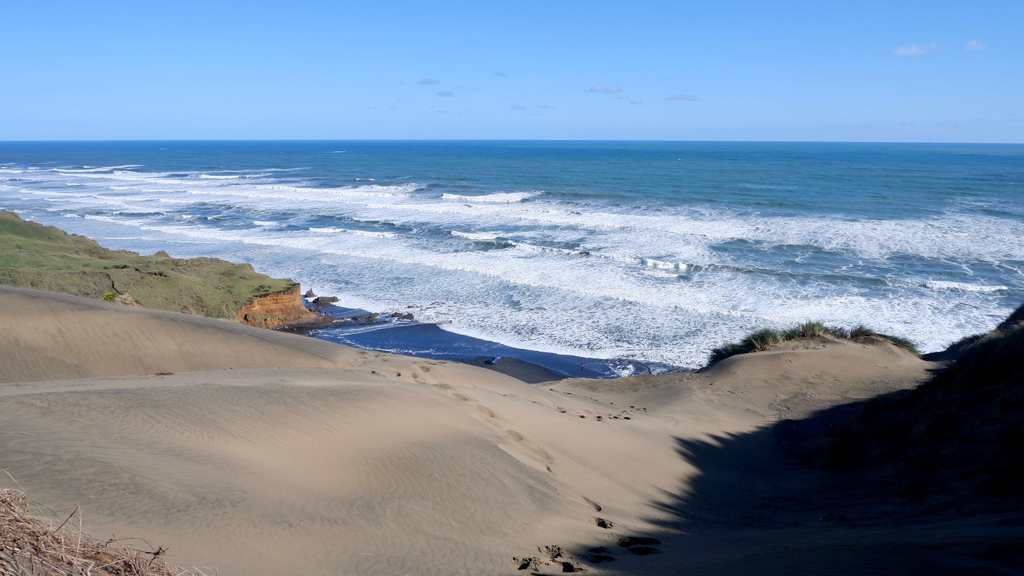
In case you missed last week’s post, here’s a few more shots from my trip to Auckland’s biggest sand dune.
May your week be filled with good things ✌️


