Hi there! It’s hard to believe that school will soon be out for summer and graduation + party season will be upon us 🧑🎓
We’re a little over a month away from the average hottest day of the year, July 18th. So far, June has been near average in the Hudson Valley in terms of temperatures, with little spread in day-to-day highs lately (ranging from 77 to 81 in the past week).
It has yet to reach 90 degrees this month so far, but we’ll come close later this week.
Showers that will arrive later today (Sunday) and tonight will come with a surge in humidity. The humidity will ease away on Monday morning with a mix of clouds and sun.
On Monday night, an organized cluster of thunderstorms will track across the Great Lakes region. While the indication is for this feature to pass south of the Hudson Valley on Tuesday morning, it bears watching.
Otherwise, Tuesday is expected to be similar to Monday but a few degrees warmer. Wednesday will probably turn out dry with similar temperatures again.
On Thursday, a warm front will approach the region from the west. Warm fronts often have a tough time clearing the Northeast’s complex terrain. They make temperature forecasting more challenging: if the front remains to the west, it’ll top out in the 70s but if it passes through it could reach 90. I’m currently betting on the former.
The front will probably clear through the region on Thursday night, bringing a chance for a shower or thunderstorm into early Friday. The rest of Friday looks quite warm and rather windy 🌡️
It won’t last long.
🌬️ A particularly strong cold front is forecast to approach early Saturday, leading to a cool, windy day. The Canadian air mass might stick around on Sunday with below average temperatures continuing.
Temperatures still look cool heading into the week of June 20th. I’m already sensing that the title for next week’s report will be something like “where’s summer?”
So what’s going on? The jet stream, a narrow corridor of strong winds in the upper atmosphere that separates cold air to the north from warm air to the south, will commonly blow over and to the south of the Hudson Valley. We’ll be on the cool side of the jet much of the time over the next two weeks. Watch:
A journey to a far off place
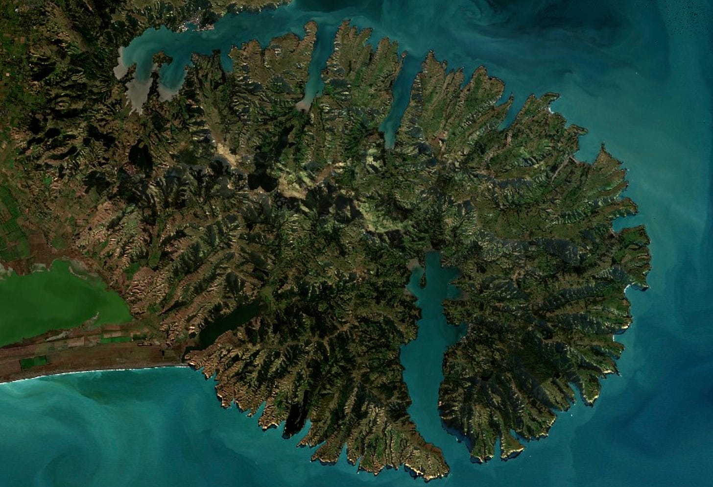
This week, I’m inviting you to accompany me to a place called Banks Peninsula, a circular, volcanic landform that extends off of New Zealand’s South Island.
I had the pleasure of visiting last weekend, my first time in this part of the country.
It was an absolutely stunning day with highs in the mid 60s, well above average for the time of year. Naturally, as a meteorologist does, I chronicled the view from space as seen from the Sentinel-2 L2A satellite.
The peninsula is far too big to cover in a day, so we visited its most populous town: Akaroa, about 50 miles southeast of Christchurch.
Akaroa was purchased by the French around 1840, whose influence remains strong to this day, with the town featuring French street names, cafes, and architecture.
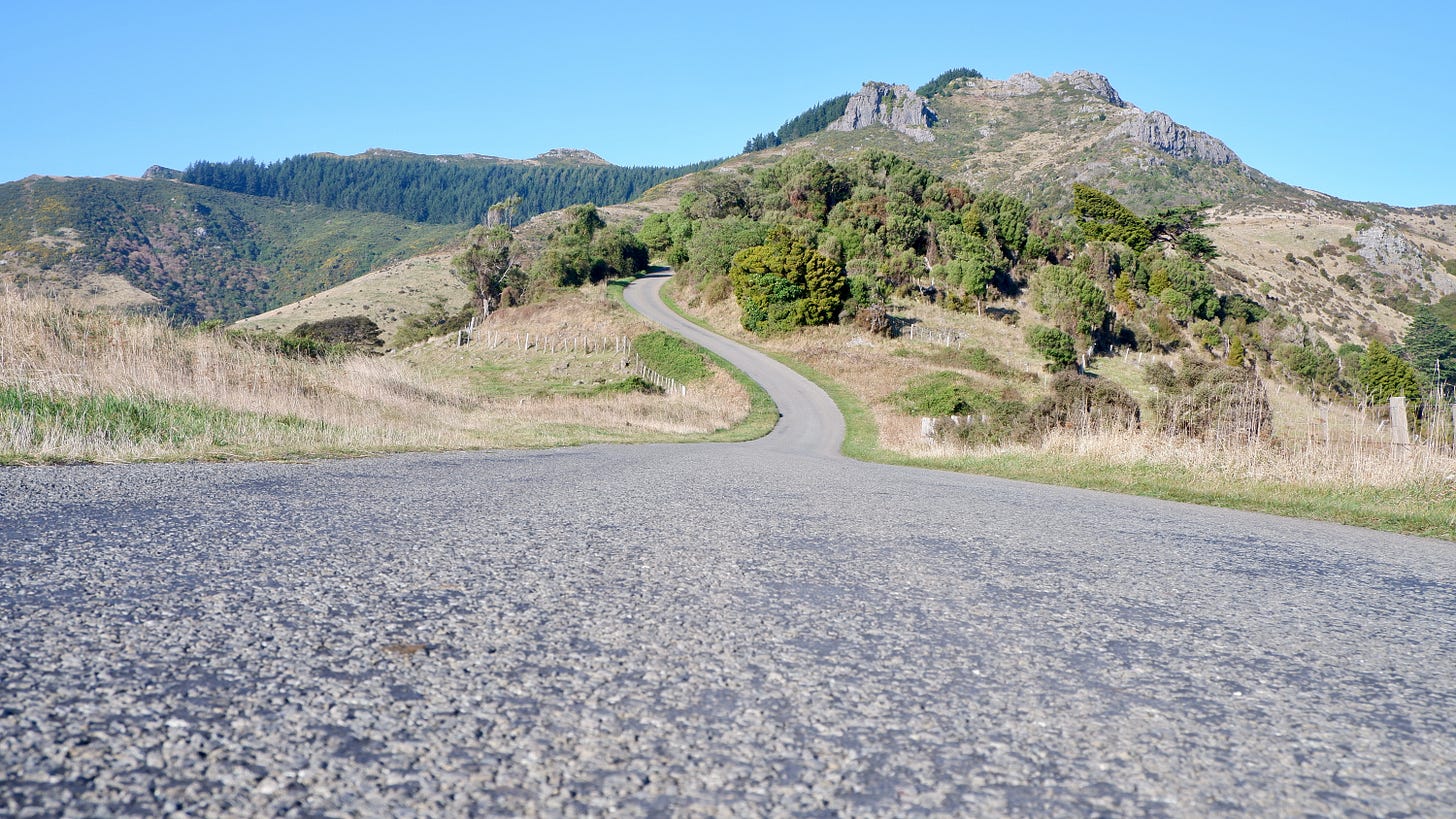
Before you get there, you must traverse a road with hairpin turns that rises to an elevation of 1500 ft, affording such views:
Upon arriving, it’s wise to refuel with a French pastry or the locally famous ice cream-covered Belgian waffle 🧇
I then had the energy to hoist my drone 390 ft into the air above the colorful place whose harbor was dotted with sailboats.
Soon, it was time to climb into the hills once again. On the south end of Akaroa, an extremely steep and narrow road quickly climbs to 1600 ft. It's a road to what feels like a far-flung edge of the world, reaching a knee-buckling 2200 ft at maximum with sheer drops. You need a 4WD vehicle to access the road all the way to the coast, something that we didn’t have this time. But it gives us a reason to come back…
Needless to say, the view was pretty epic.
Can you follow the dirt road through the mountainside? That’s our next journey.
Have an adventurous week 🤙


