Pool weather! 🏊
Update #504
How nice of Mother Nature to wait until graduation passed to deliver some proper summer weather this year! 😇
June has so far been a degree or two below average across the Hudson Valley, but this coming week will turn the tide.
The graphic below shows what parts of the country are forecast to reach at least 90 degrees (white outline) and 100 degrees (yellow outline) over the next 10 days. Note how the Hudson Valley is included in the 90+ region.
A band of rain, and perhaps a rumble of thunder, will march across the region from late tonight through Monday morning before clear weather arrives and lasts for several days.
A gradual reduction in humidity is expected on Monday with lovely levels of low humidity on Tuesday and Wednesday. Dry weather is expected to last through Friday.
Friday will be the hottest day of the week with low-to-mid 90s likely. The record high temperature of 99 degrees is probably safe, though.
With graduation parties abound next weekend, you’re probably wondering about rainfall chances. It’s not looking like a washout, but some rain appears possible, particularly when a front approaches the region on Saturday.
There is some uncertainty as to how quickly the front clears the region on Saturday night or early Sunday — a quicker passage would result in a dry day while a slower one would allow for a lingering shower chance. Nevertheless, it doesn’t look as hot as Saturday.
The week of July 4th looks to get progressively hotter 🌡️
A trip to the national park
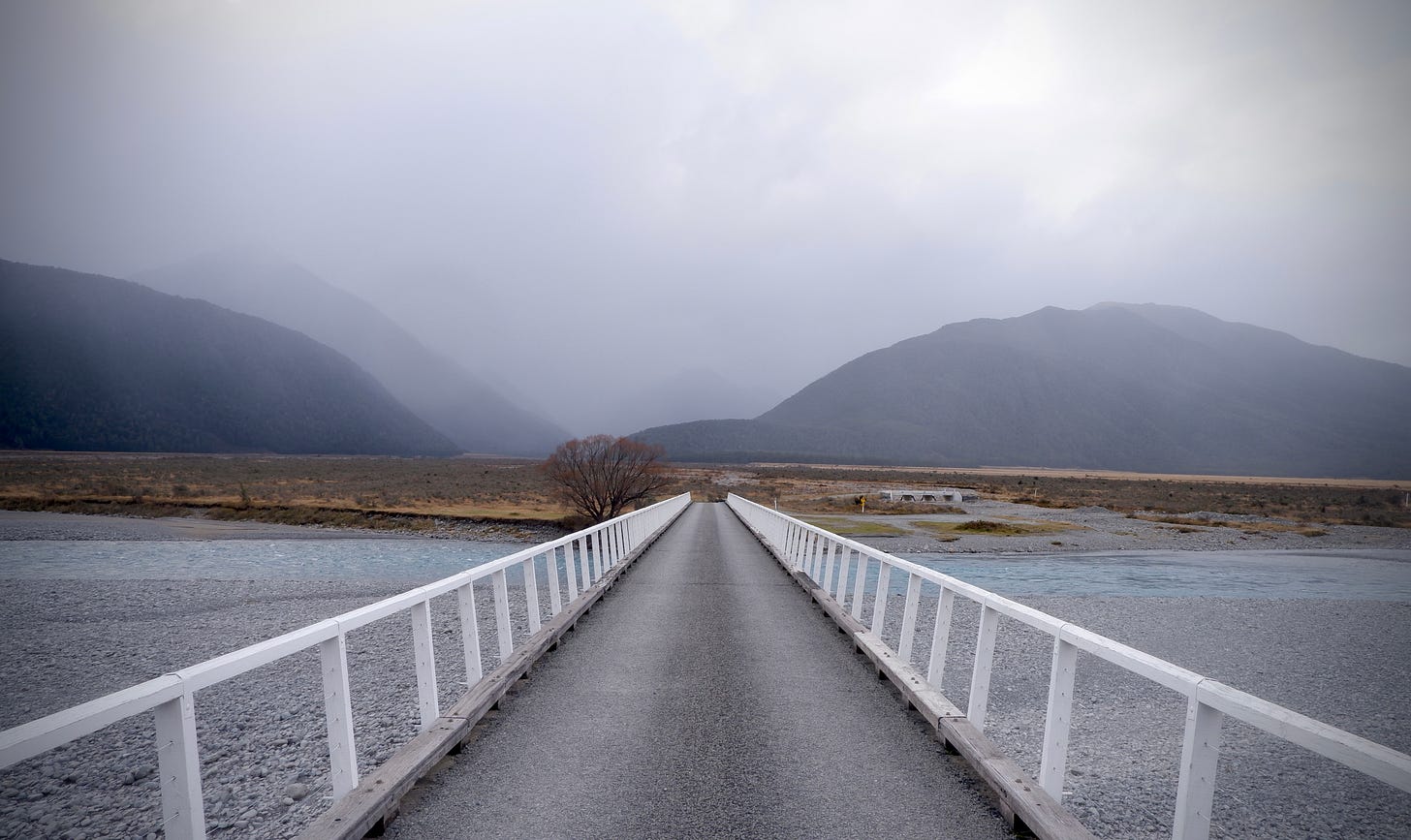
As is a growing tradition, I like to end my newsletters with some photos from a place I’ve visited recently. This week, I share some from a place called Arthur’s Pass, a national park in New Zealand’s South Island. I was there a few weekends ago.
A snowy backdrop 🏔️
A waterfall 🌊
A glacial river 💧
The road to nowhere 🛣️
To the grads, parents, teachers, administrators, school staff, bus drivers, and everyone else, have a fantastic summer! ✌️


