Hudson Desert 🐪
Updated #512
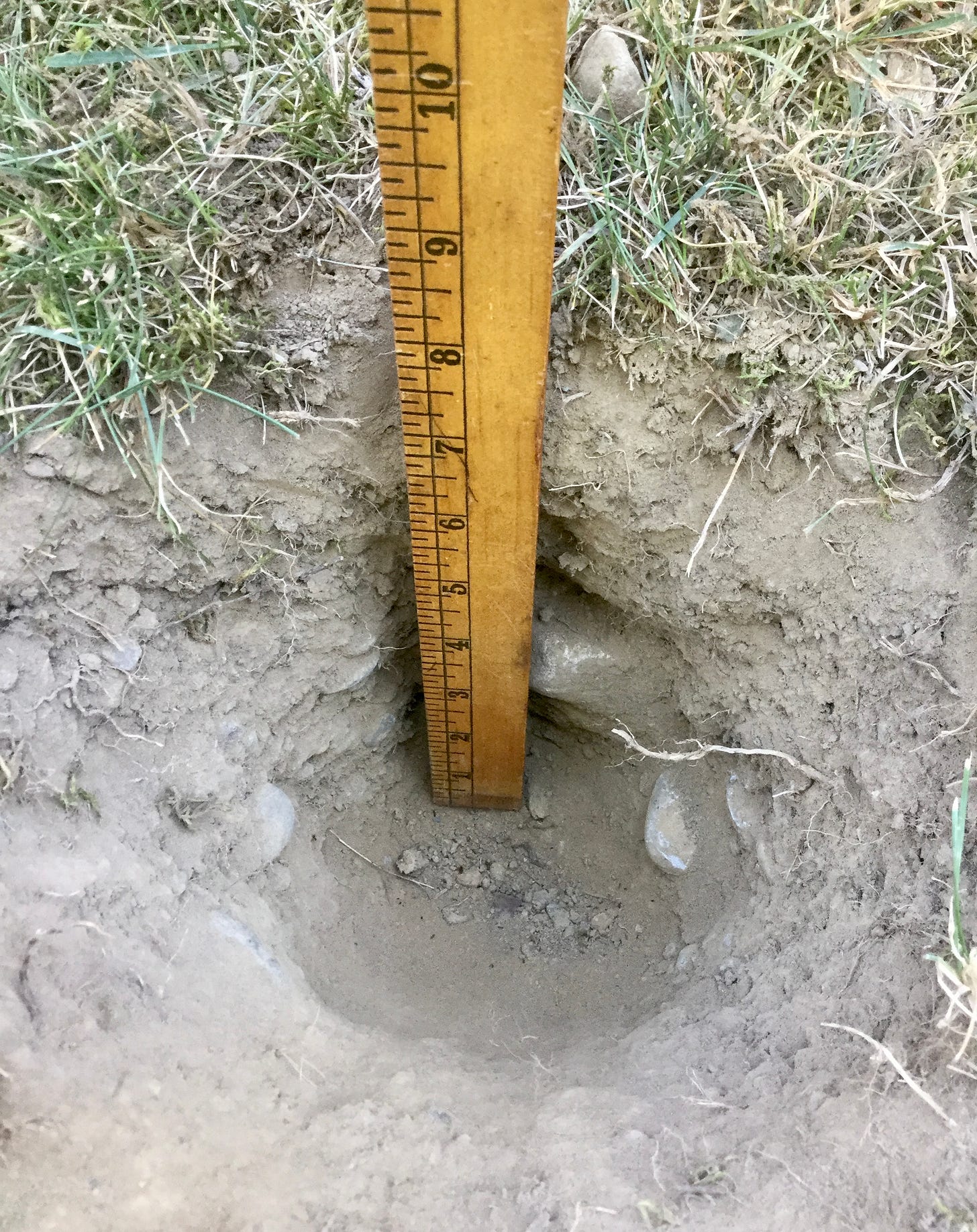
🌵 Welcome to the Hudson Desert! You’d be mistaken for thinking that the picture below was taken in some arid place in the Southwest. Nope, that’s southeastern New York, where moderate to severe drought intensified over the past week.
As the rainfall deficits continue to grow, I took to the 92-year climate record at Poughkeepsie to see just how unusual it’s been. The chart below speaks for itself.
With 10 days of meteorological summer left as of this writing, we’re tracking toward the 2nd driest June-August on record. The driest June-August occurred in 1966, 3rd driest in 1993, and 4th and 5th driest in 1957-58.
So yeah, it’s been really dry. And hot too. August monthly temperatures have so far been 3-4˚F above average.
As an aside, I must say, the winters of 1993-94 and 1966-67 were both pretty harsh, but a hot, dry summer doesn’t necessarily mean that we’ll “pay for it” in winter. 1993 and 1966 had different climate drivers than 2022, so I don’t think they’re a great place to be digging for winter weather clues. Anyway, I’ll save the snow talk for my winter outlook, to be released in October 😁
So is there *any* rain on the horizon? Yes — some! We’ll need more than “some” to break the drought, but we’ll take what we can get, right?
The week ahead will start unsettled but tranquility will quickly return.
Exactly how much rain falls in your town on Monday is a question mark, but some places could pick up over an inch of rain while others don’t reach half an inch. Driving the rain is a warm front with very humid, tropical air in tow. The atmosphere will also be unstable with an upper level low pressure system overhead, bringing a risk for thunderstorm activity.
A few more scattered showers and storms are likely on Tuesday as the low swirls overhead.
You might also note that the forecast high on Monday is only in the 70s. Should the weather station at Poughkeepsie fail to reach 80 degrees, the 80+ degree high temperature streak will end at 54 days — the longest such streak on record since 1931.
The weather from Wednesday onward looks to reach some sort of meteorological cruise control, with the only fly in the ointment being a weak cold front later on Friday. Otherwise, it’s plenty of sunshine with highs in the 80s — Thursday and Friday look hottest.
The week of the 29th looks to start warm and dry, although things may change later on. We’re nearing the peak of hurricane season and the Atlantic basin is predicted to awaken from a lengthy slumber. A time to be aware, not alarmed 🌀
New Zealand Deluge
New Zealand’s weather has been as far from drought as imaginable this winter. Deluge after deluge has brought flooding, landslides, sodden soils, and most recently a devastating river flood in a place called Nelson in the northern South Island.
Atmospheric river: a phrase to add to your scientific lexicon! Atmospheric rivers are like rivers in the sky, transporting copious amounts of moisture from the tropics to the mid-latitudes.
They’re a key feature of the winter climate along the U.S. West Coast and are often responsible for ending droughts, quelling wildfire season, and recharging water storage. The most severe atmospheric rivers can also cause destructive flooding.
They’re important in New Zealand too, but we’ve had several in quick succession and the one this past week was preliminarily our strongest August atmospheric river on record.
The northern South Island was blitzed with 3-4 months worth of rain in just a few days, causing rivers to burst their banks and numerous landslides, cutting some communities off. Local officials say the cleanup and rebuild will take years.
The wider Nelson region, known locally for being New Zealand’s sunniest place, was hardest hit.
Here are a few photos taken by my colleagues. We’d gladly trade some rain for some of your sun!
May the rains in the Hudson Valley be much gentler ☔


Wow! Send some of that rain here! Stay safe.