Stormy skies ahead
Update #532
👋 Hi everyone! I can’t promise a snow day, but I can say with some confidence that stormy skies lie ahead through the end of the month.
This month has so far been about 11 degrees warmer than average with reports of dandelions popping out of the ground. Long time Hudson Valley residents have acknowledged just how wacky it’s been and the data would agree — we’re tracking ahead of 1990 for the warmest January on record.
🔮 But there are some changes on the horizon. A pattern change, which I discussed in the premium post below, is coming for the last 10 days of the month.
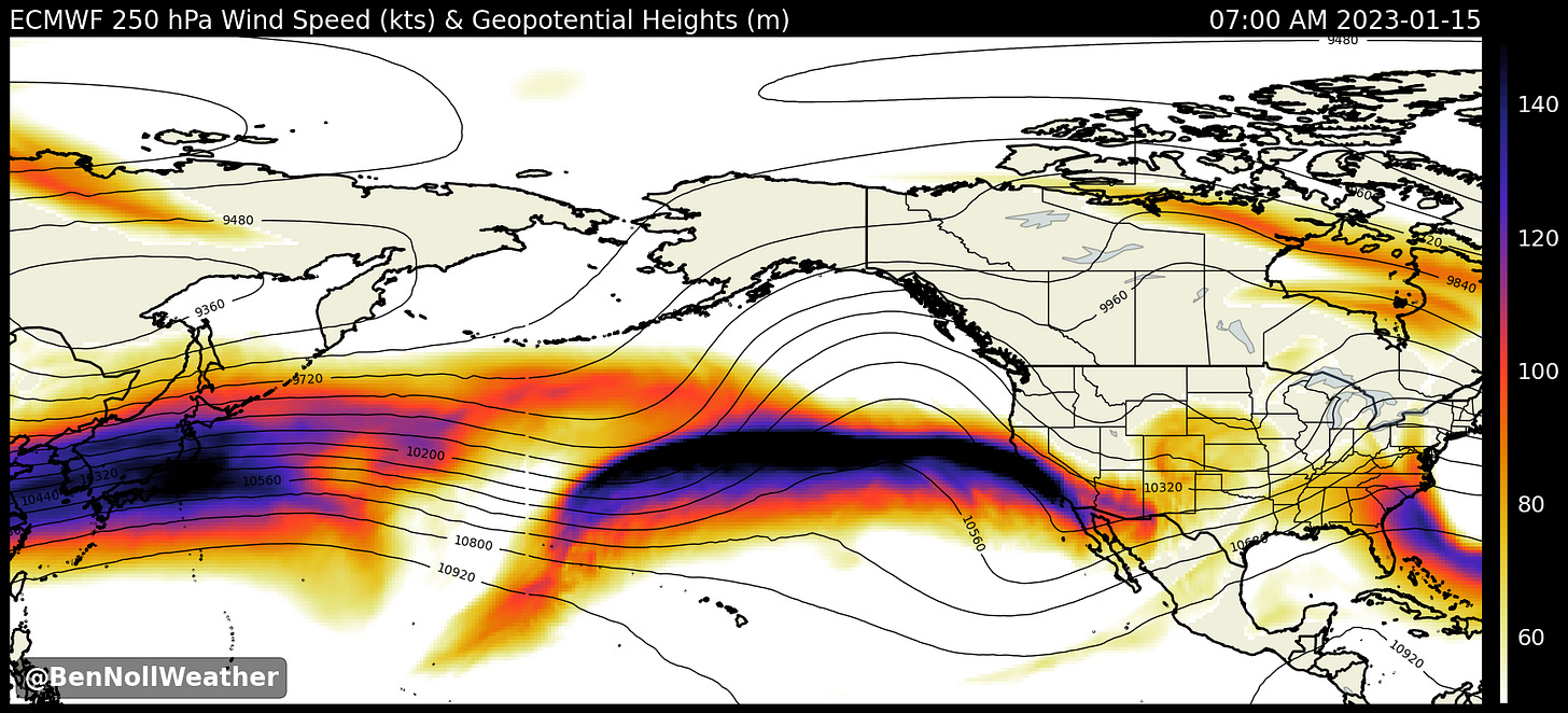
A vigorous Pacific jet stream pattern has caused a record warm January in the Hudson Valley so far. This pattern will break down over the next week, marked by a storm in the region on Thursday-Friday. The last week to 10 days of January look unsettled, but whether or not there will be enough cold air for snow remains a question mark.
At any rate, here’s how the week ahead is looking:
Monday looks like the pick day of the week with a strong dose of sunshine! ☀️
A weak disturbance will approach the region on Tuesday, bringing a slight chance for a period of rain or freezing rain, the latter mainly over the Catskills.
On Wednesday, a gusty northwesterly breezy is expected following the passage of a weak front.
The week’s main storm system will likely arrive on Thursday, although the timing and precipitation type is currently a bit uncertain. There’s a chance that it could start off as an icy mix, particularly in the Catskills, but there isn’t enough cold air around to prevent it from changing to rain.
For the snow or ice day hopefuls, there are still a few days to watch! 🤞
Behind the storm, showers could linger on Friday as the wind picks up again.
Saturday looks fairly tranquil at this point before the next storm “signal” develops in the Sunday-Monday time frame.
It’s too early to say anything definitive, so we’ll just keep watching!
The weather pattern that we are about to get into is a fast-paced, changeable, stormier one. This owes to a new jet stream configuration over the United States. Instead of driving storm-after-storm into California, the fastest branch of the jet stream will be located over the southeastern states.
Of the images below, the first one shows the jet stream pattern today (Sunday) and the second is valid later this week. See how the fastest winds (purple coloring) shift east?
Fair warning, this is the type of pattern that will lead to more frequent changes to the forecast than normal, so keep your favorite weather app close!
Having a more favorable jet stream pattern is just one winter storm ingredient. Cold air is also a must-have, but it’s been MIA. So where is it?
The map below shows where the coldest air, shaded in white, will be in the Northern Hemisphere over the next 10 days. Hint: not over the United States!
With cold air lacking, it will remain a challenge getting all the ingredients needed to cook up a big snow storm.
But our chef, aka Mother Nature, still has all of February, March, and some of April to work her magic 👩🍳 ❄️
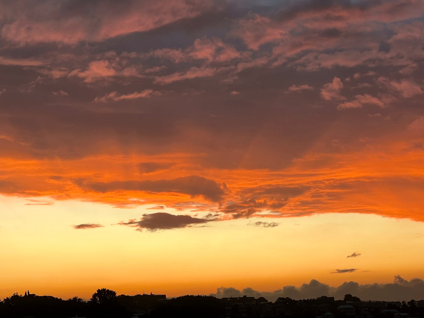
Summer sunsets 🌅
You might not believe it after seeing these sunset shots, but Auckland is also experiencing a sunshine drought, similar to the Hudson Valley!
We had a shockingly gloomy start to January, with only 27 hours of bright sunshine during the first 12 days of the month. The average over the period is 93!
It goes to show that nothing lasts forever — the Hudson Valley’s snow drought included.
Shine bright this week ✌️


