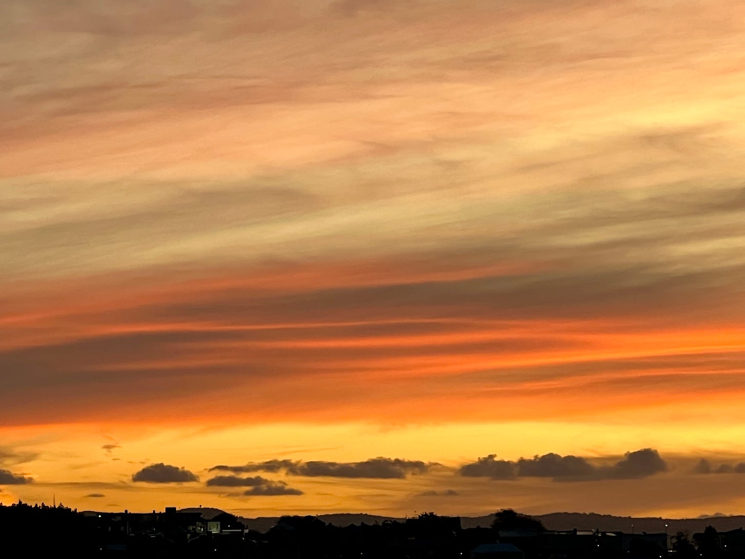
Marching out like a lamb 🐑
Update #542
The trend is our friend.
Earlier this week, it looked like there might just be some accumulating snow during the end of March into early April.
That now looks unlikely.
Instead, we’ll have a (mostly) rain event on Monday evening and night before some better weather from Tuesday into Friday, with a general warming trend into early April.
True to the expression, you might say March is going out like a lamb!
🐑 Lamb-like days this week: Tuesday, Wednesday, Thursday, Sunday
Monday: a relatively mild but cloudy day with rain arriving sometime after 3:00-4:00 pm; rain could mix with wet snow in the hills at night
🐑 Tuesday: seasonably mild with clouds and sun
🐑 Wednesday: a good deal of sun 😎, cold front at night
🐑 Thursday: a cooler but sunny day
Friday: clouds increase ahead of the next system, chance for showers, mainly later in the day
Saturday: an “interesting” weather day as a (possibly) strong low passes to the north — could be our warmest day of the year so far 🌡️
🐑 Sunday: another cold front passes through, but on the sunnier side
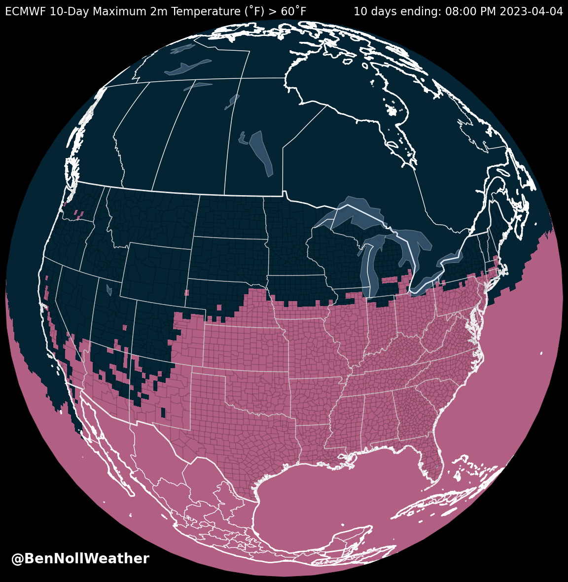
Looking at temperatures, the areas shaded in red on map below indicate where it will be at least 60˚F at some point in the next 10 days — the Hudson Valley is included!
The week of April 3rd looks to turn unsettled toward the middle of the week with a mix of mild and cooler days.
Vote for your favorite prognosticator
A few weeks ago, I learned that I was nominated in the Hudson Valley magazine’s best of Hudson Valley meteorologist category 🥳
If you want to cast a vote, follow this link.
You have to vote in at least 5 categories for your vote to be counted.
Hope your week is gentle and lamb-like ✌️
You know the saying: 🌧️ April showers bring May flowers 🌼. Sometimes, April can be an annoyingly damp, cool, and cloudy month. Coming out of winter, that’s the last thing most people want. Other times, the temperature can push 90 degrees and have you headed for the ice cream stand. Where will April 2023 fit in the spectrum?
Premium subscribers, read on for your mid-spring preview…


