Humid and stormy, then a taste of a fall 🥧
Update #566
🥵 It sure has been a warm and humid start to September — the first nine days of the month have been 5-7 degrees above average!
Who’s looking forward to a little taste of fall?! 🙋♀️ 🙋♂️
For the Hudson Valley, the week ahead will be muggy and rainy at first, then fall-like with an air mass from Canada. There’s also a hurricane named Lee swirling far off in the distance…
We clearly don’t need any more rain after the events of Thursday and Friday — the grounds are sodden 😬
Numerous flash flood events have occurred across the globe in recent months. Here’s why. As you’ll read below, another heavy rain event is possible tonight (Sunday night) and Tuesday night-Wednesday.
In the tropics, Hurricane Lee is forecast to re-intensify into a category 4 hurricane as it slowly tracks northward this week. The latest projections have the storm passing close enough to New England next weekend to not entirely rule out an impact. However, it’s more likely that the storm remains offshore and moves into Nova Scotia and/or Newfoundland.
The factors influencing Lee’s path are pretty complicated and include another tropical storm named Margot. Suffice it to say, the long-term forecast isn’t set in stone and there will be some twists and turns to come. All that said, an impact in the Hudson Valley is looking pretty unlikely at this point.
You can follow my tracking bot for the very latest to do with Hurricane Lee.
Closer to home, it’s certainly looking like a week of two halves: humid and stormy, then sunny and gorgeous. Although not covered in the chart below, another stormy evening and overnight is possible today and tonight (Sunday-Sunday night)…
Monday: muggy with isolated showers and thunderstorms, mainly later on
Tuesday: humid with rain and thunderstorms likely at night, some heavy ⚡
Wednesday: very humid with showers and thunderstorms likely, some heavy ⚠️
Thursday: finally becoming less humid and pleasant! A cool night in the 40s ☺️
Friday: nice and sunny followed by another cool night ☀️
Saturday-Sunday: still sunny, assuming Hurricane Lee remains offshore 👋 🌀
Looking ahead to the week of the 18th, should Hurricane Lee pass offshore, high pressure over the Hudson Valley will likely spell a dry start. It’s also not looking hot.
The tropics are forecast to remain active during the second half of the month, so we’ll need to keep watch…
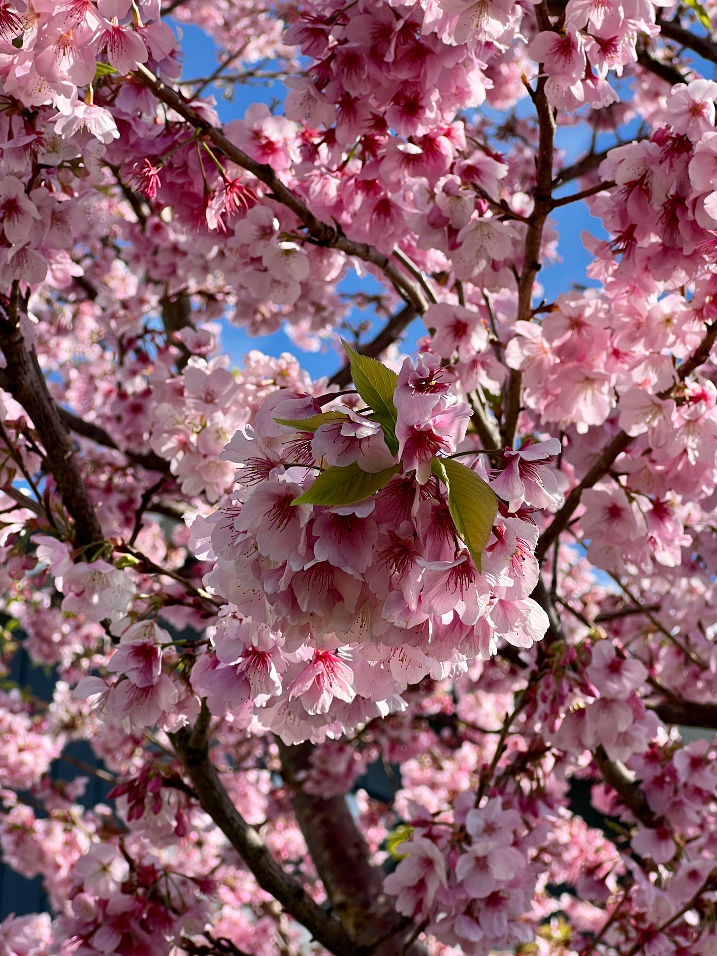
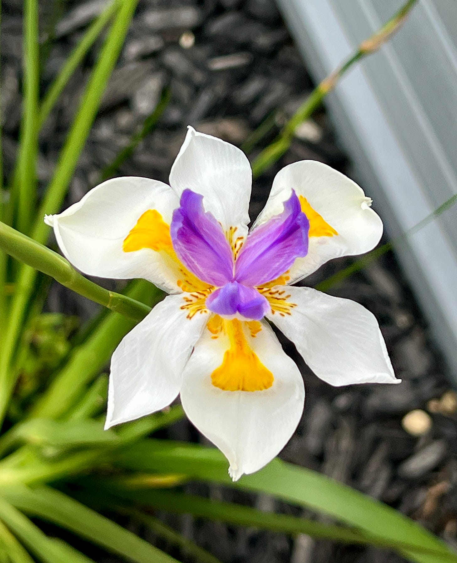
🌸 September cherry blossoms
Down in New Zealand, we’re getting some brilliant cherry blossoms. Even though I’ve been here for almost eight years, it’s still odd seeing flowers bloom in September!
Next weekend: premium subscribers will receive a post “Winter 2023-24 through the eyes of a climate model”. You won’t want to miss it!


Thank you for such a great weather report and the photos of the blooms are beautiful! I went to VCHS but graduated much earlier than you. 1977. Keep up the fantastic work, Ben!!