Snow Tuesday, cold week ahead 🥶
Update #584
Hello! An Arctic cold front will be making its way through the region today, setting the stage for what will be the coldest week of winter so far 🐧
The front will bring an early afternoon (noon - 2:00 pm) snow shower or squall today (Sunday), which is likely to cause a quick covering of snow. The visibility will also be reduced when it blows through, especially when combined with 40 mph wind gusts. Avoid travel during this time period if possible.
After a cold, dry, and sunny Monday, the focus will shift to Tuesday, when flakes will again fly.
What? Snow of a light-to-moderate intensity.
When? Starting between 4:00 - 7:00 am Tuesday from south-to-north. Ending between 3:00 - 6:00 pm.
How much? A moderate-to-high chance for more than 2 inches. A low chance for more than 4 inches.
Impacts? Although snow accumulation from this storm doesn’t look too heavy, it will impact both the morning and afternoon commute. Temperatures in the 20s means that snow will stick to all surfaces. I can foresee a reality where school districts “test the waters” with a delay on Tuesday initially, followed by a closure (or not), depending on how bad the roads are.
Confidence? The forecast is getting clearer, but additional refinements will be made over the next day.
Another update will be issued Monday morning. For interim updates, follow along on X or bookmark my website.
The rest of the week will be cold with the next chance for snow coming on Thursday, although it doesn’t look substantial. A more organized storm may impact the region on Friday. Once this storm passes, it will reinforce the chill for next weekend…
Monday: sunny and cold ☀️
Tuesday: snow, accumulating 2-4 inches ❄️
Wednesday: breezy and cold with plenty of sun ☀️
Thursday: mostly cloudy with a flurry or snow shower possible
Friday: snow possible 👀
Saturday-Sunday: very cold and windy 🥶
Across the wider U.S., the Arctic front is bringing bone-chilling temperatures in the -10 to -40˚F range to about 15 states in the Plains and Midwest. The map below shows the coldest predicted temperature in the next 48 hours.
States that are forecast to dip below 0˚F are contained within the yellow line — fortunately, this doesn’t include the Hudson Valley. The sub-zero line reaches as close as western NY.
Looking ahead to the week of January 22nd, high pressure will bring a dry start. Conditions will gradually warm up as the week goes along and snow isn’t looking particularly likely at this time.
Premium subscribers: stay tuned for my 2023 annual state of the climate report for the Hudson Valley, to be released next weekend!
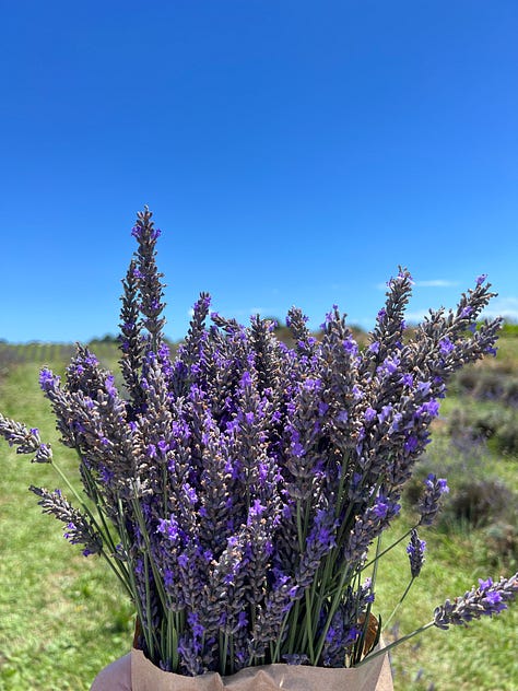
Have you ever tried lavender ice cream? 🟣 🍦
On what was a very hot summer day on Saturday, Kate and I visited a lavender farm in a rural part of Auckland.
After picking lavender under the baking sun for about an hour, what better way to cool off than with a cone of lavender ice cream?
It tasted exactly as it smelled. I would definitely recommend giving it a try if you ever come across it for a refreshing, unique flavor.


Warm regards ✌️ I’ll be in touch again tomorrow.


Forecasts have been spot on for New York State. Many schools in the tri-states/Mid Hudson Valley area were closed Friday with weather conditions declining. Weekend winds have been brutal. Who knows what Monday morning ing temps will be?
We shall see!