Watching wintry mix into Wednesday ⛸️
Update #585a
Hi there! A weakly formed weather system will send waves of moisture through the region between Tuesday and Wednesday. These types of poorly defined systems are often the most challenging to forecast for.
Because of recent frigid air, ground temperatures are well below freezing. Although temperatures are expected to rise above freezing today and on Tuesday, it won’t be by much. Temperatures are then forecast to dip back below freezing on Tuesday evening with areas of light wintry precipitation around until Wednesday morning.
It’s not a big event, but has the potential to be a headache, especially in locations inland from the Hudson River and in the Catskills that tend to be colder.
What? Rounds of light wintry precipitation: wet snow, sleet, freezing rain, and even plain rain or drizzle. The temperature is forecast to fall below freezing on Tuesday evening and remain below freezing into Wednesday morning, which is the primary period of concern for slippery conditions ⛸️
When? Starting late morning or early afternoon Tuesday. Ending Wednesday morning. The primary period of concern is Tuesday evening (after 5:00 pm) into Wednesday morning (until 9:00 am) when there is higher confidence in sub-freezing temperatures.
How much? A coating of snow and/or sleet. A light glaze of ice.
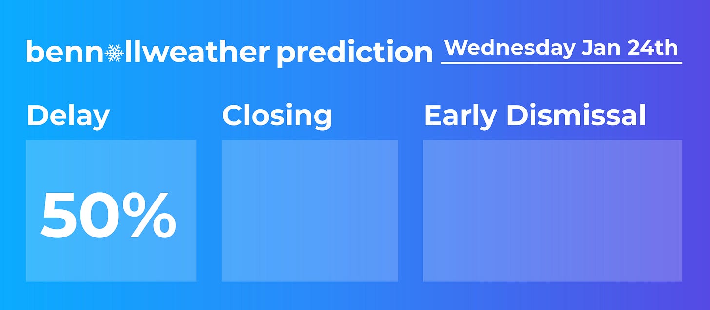
Impact? The impact on Tuesday will depend on the temperature. If temperatures hover close to freezing, then slick conditions could develop once precipitation starts around midday Tuesday. If temperatures rise several degrees above freezing, then slippery conditions would be delayed until Tuesday evening. There is a chance for early dismissals on Tuesday and delays on Wednesday.
It will be important to monitor forecast trends over the next 24 hours, particularly around expected temperatures when the precipitation arrives on Tuesday. There is relatively higher confidence in sub-freezing temperatures on Tuesday evening, which means that slippery conditions would have the highest chance of occurrence from Tuesday night into early Wednesday.
Unfortunately, this system isn’t as clear-cut as the two storms last week and has several moving parts, so there may be a surprise or two!
I’ll send another update on Tuesday morning. Have a great day.


