🩴 Warm for a while longer, then turning wetter (again)
Update #600
Hello and welcome to my 600th weekly update! I’ve been now sending out the Hudson Valley “weather word” in email form for the last 11.5 years.
It started as a simple email to a couple dozen teachers, classmates, and interested community members. Inevitably, the emails got forwarded, and a trickle of requests to be added to the distribution list eventually turned into a flood. I reached the 500 person limit that I could send an email to, so I had to migrate to something more high-tech. At first it was a site called Mailchimp. There, I actually paid out of pocket to keep the emails going, week after week. Then I found this site, which has been the ideal solution over the last four years. Here, the subscriber count has ballooned to almost 13k. In the last three months, my newsletters have received 325k views, which suggests their reach is much higher than just the subscribers. For the last 8+ years, I’ve been reporting from the other side of the world on a 16-18 hour time difference 🙃
I am grateful to be a Sunday “staple” for so many people interested in learning more about the weather. I thrive on translating my passion onto this virtual paper and helping everyone try to step one step ahead of Mother Nature — I won’t be stopping any time soon. If you’ve had fun on this ride, you can donate by clicking the button below ☺️
On that note, what’s the weather up to this week?!
If you’re reading this on Sunday, May 5th, it’s definitely not warm outside, but that will change in the days ahead. It will likely be in the 70s from Monday-Thursday (80s possible on Wednesday). However, in the longer-range, there’s been a trend back toward the wetter weather the region experienced during April.
Monday: warm and humid with clouds and breaks of afternoon sun; isolated, passing showers possible
🌟 Tuesday: pleasantly warm with plenty of sunshine — pick day of the week! A thunderstorm is possible overnight ⚡
Wednesday: warm and humid with a mix of sun and clouds; an isolated shower or thunderstorm is possible 🌡️
Thursday: mostly cloudy with the chance for rain and thunderstorms increasing, particularly after noon
Friday: the chance for showers continues…
💐 Saturday-Sunday: turning cooler with partial sunshine and scattered showers possible, likely becoming less numerous (feeling more like April for Mother’s Day)
➡️ The last few weeks have featured lower predictability in the 5-7 day forecast range, which is characteristic of spring. That means you should keep checking in on the forecast because details can and will change.
The map below shows forecast rainfall over the next 15 days. An El Niño-fueled pattern continues to dampen spirits across the eastern seaboard. The Hudson Valley sits firmly in the 2-4 inch rainfall range. The silver lining is that we won’t be starting the summer season with a drought! Speaking of summer, I’m writing a piece about summer weather patterns for premium subscribers, to be released before the start of June 🌞
The week of May 13th isn’t looking hot at this point with highs generally in the 60s. Rain will also probably continue off-and-on.
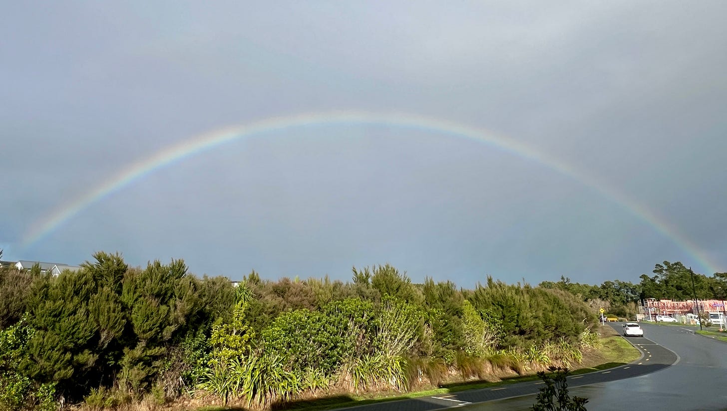
…remember, you can’t have a rainbow without a little rain 🌈
I snapped these photos last week during a showery, winter-like day in Auckland.
Make the most of the sunshine while it lasts! ✌️


