🍦 With school officially out for summer and the warmest month of the year upon us, summer camps are kicking off and ice cream stands are open late. It can be a really enjoyable time of the year — if the weather cooperates.
The week ahead will start off with plentiful sunshine and low humidity in the Hudson Valley, but it won’t necessarily end that way. The weather gets a “B” for “behaving most of the time”.
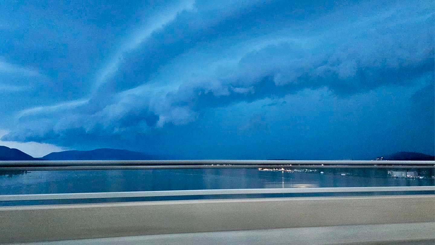
This past week, the weather certainly wasn’t cooperating on Wednesday evening when a bowed line segment roared across the region, bringing damaging, 60 mph wind gusts and a scary-looking shelf cloud.
⚡ Another round of strong-to-severe storms may rumble across the Hudson Valley this (Sunday) afternoon and evening. For those with graduations and parties, I suggest having a backup plan to take things inside if the situation goes downhill — it could happen abruptly. Strong winds and frequent lightning are the primary potential hazard, with activity starting as early as 1:00 pm.
In stark contrast, the weather from Monday-Wednesday is looking awesome:
🌟 Monday: mostly sunny and comfortable with low humidity
🌟 Tuesday: plentiful sunshine with low humidity
Wednesday: turning warmer with sunshine, but the humidity still won’t be too bad
🎆 Thursday: hot and humid with a mix of sun and clouds, a slight chance for a passing shower, but unlikely to spoil 4th of July festivities
Friday: partly sunny, hot, and humid with a chance for a shower or thunderstorm
Saturday-Sunday: a hot, humid air mass will be overhead, bringing at least a chance for a shower or thunderstorm, particularly on Saturday
Beryl barreling eastward 🌀
Hurricane activity typically peaks in August and September, but 2024 is different. If you’ve followed my long-range outlooks over the last several months, I discussed the factors behind what is expected to be a very active hurricane season in the Atlantic (click below).
Well, it’s here: a very early and intense hurricane, named Beryl, is barreling eastward toward the Lesser Antilles and Caribbean Sea. On Monday morning (local time), the storm will likely make a direct hit on St Vincent and the Grenadines.
Later this week, the hurricane may track into Mexico (higher chance) or the Gulf of Mexico (lower chance). Either way, U.S. residents along the Gulf Coast should keep an eye on this situation.
You can monitor daily track updates for Atlantic hurricanes with my hurricane tracking bot.


Looking ahead to the week of July 8th, wall-to-wall heat and humidity is looking likely — the humidity aspect is looking especially gnarly 🥵
When Mother Nature gives you excessive heat… book a trip to the beach 🤷♂️ ✌️


