
🎢 Temperature swings & rainy skies
Update #631

Hello! Here’s the weather in a nutshell this week: 💧 📈 💧 🎢 📉
Talk to you next week!
Just kidding…
It’s been an interesting start to the snowy season in the Hudson Valley, with two systems in the last two weeks producing vastly different impacts depending on location — with the weather often decided by a matter of miles in distance or feet in elevation.
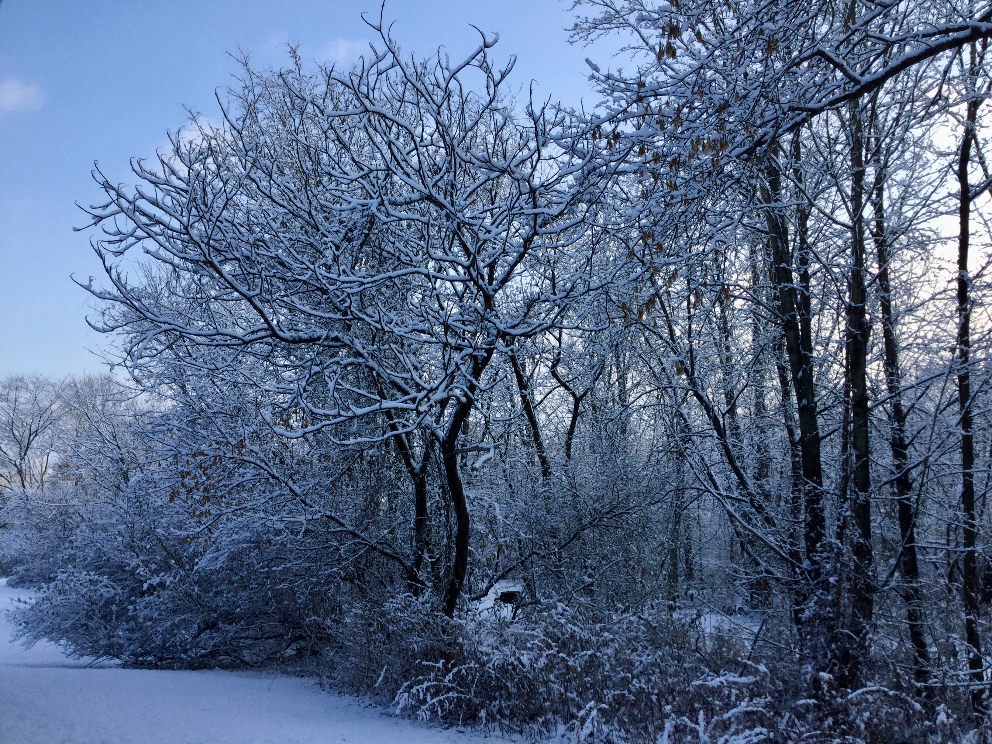
In some respects, it seems like the ‘good old days’ of uniform snowfall across the region (and therefore easier forecasting) are becoming more elusive. That would jibe with the 2-3 degrees of warming over the last 80 years, tipping the odds toward more borderline winter weather events.
As a matter of fact, my Hudson Valley climate change dashboard is due to be updated next month!
But at least for this week, we shouldn’t have to worry about borderline weather events — Mother Nature is making her intentions more obvious.
It will turn milder and could even touch 60 degrees on Wednesday. The price paid will be in the form of rain… which we could use more of, given the drought conditions in recent months.
New York City’s water storage, which depends on sources in the Hudson Valley and Catskills, is now below 60%, compared to an average of 82% this time of the year.
The water is welcome.
The week ahead
After a mild, wet start, it will turn cold again on Thursday. Temperatures have been more than five degrees below average so far this month, making it one of the coldest starts to December in quite a while.

Monday: a gloomy start to the week; afternoon rain
Tuesday: plenty of clouds, slightly milder
Wednesday: mild with rain, possibly heavy; chance for wet snow in the Catskills at night
Thursday: windy and much colder! 🥶
Friday: remaining cold
Saturday-Sunday: probably dry and chilly on Saturday, slight chance for some precipitation on Sunday

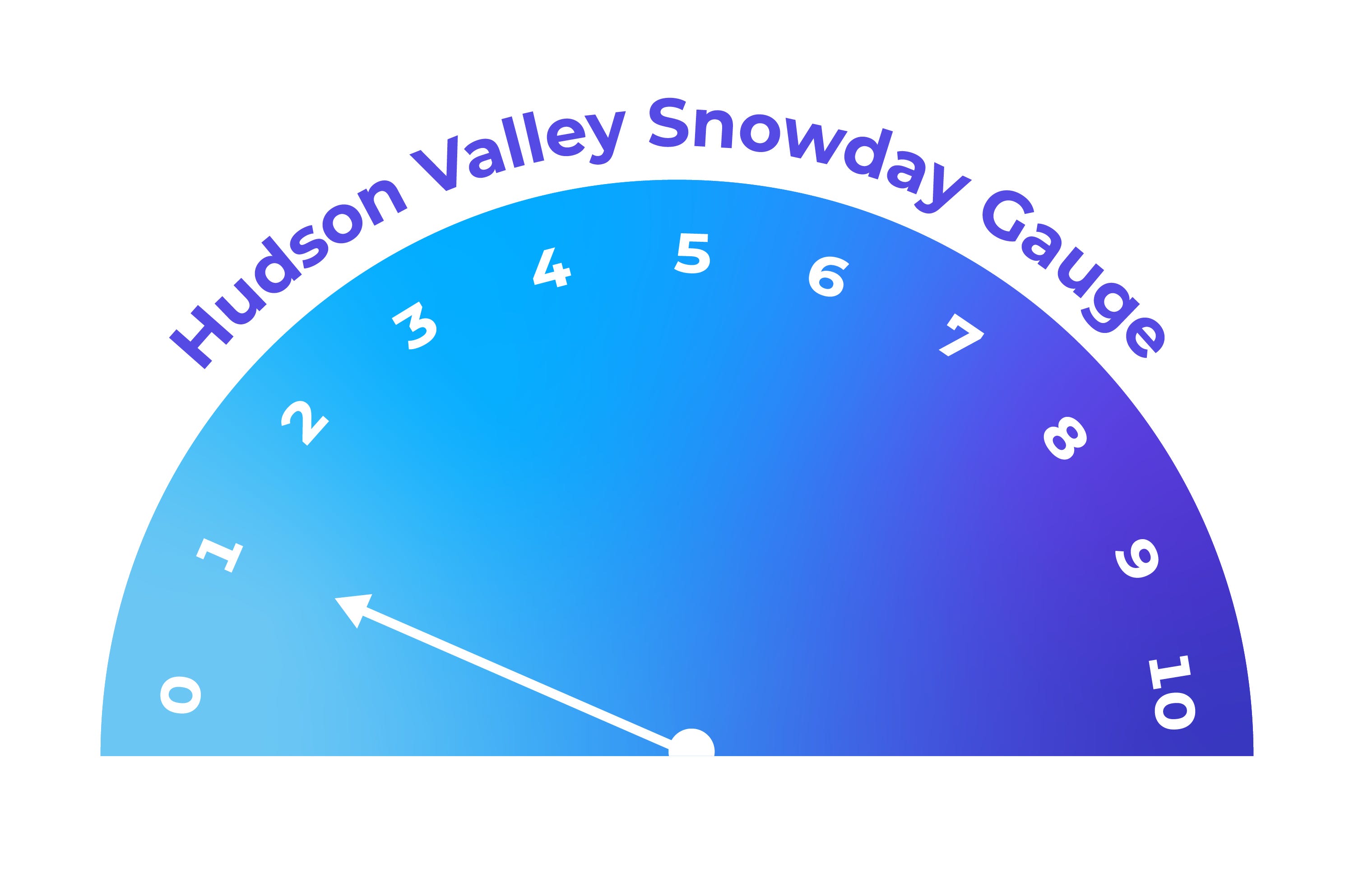
What’s the chance of a snow day before the holidays? ☃️
Looking ahead to the second half of December…
