New year, new (cold) weather pattern!
Update #634
Hello and happy (almost) New Year! 🎇
After a relatively mild end to December, some seriously cold air looms for January. There’s a chance that the polar vortex may visit during the second week of the month.
The polar vortex is a ring of cold and stormy weather that typically remains close to the North Pole.
Early indications are that the pattern will be cold but dry in the beginning of January - so no snow days. Yet.
That’s because the initial cold air mass will suppress moisture and storm activity offshore, with the moisture tap to the Gulf of Mexico mostly turned off.
However, the odds for accumulating snow will probably increase during the week of January 6th.
The week ahead
After a mild start, conditions will turn much colder and windy. Soaking rain may coincide with New Year’s Eve celebrations, including during the ball drop in New York City.
Monday: breezy and mild with a mix of clouds and sun
Tuesday: tranquil daytime conditions; rain at night, possibly heavy
Wednesday: windy with passing rain and snow showers possible
Thursday: partly sunny, windy, and colder
Friday: remaining windy and cold
Saturday-Sunday: clouds limiting sun, cold and windy
❄️ In the section for premium subscribers below, I offer a can’t miss preview of the potential for cold and snow during the week of January 6th ❄️
A heavy accumulation of sand and sun
While the Hudson Valley patiently awaits a heavy accumulation of snow, some snowbirds have taken to the sky and landed in the Southern Hemisphere — my parents.
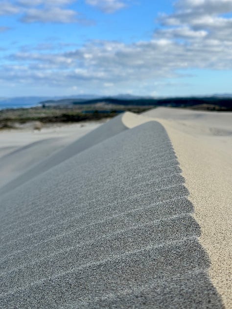
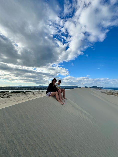
Earlier this week, we explored a magnificent set of dunes in a place called Mangawhai, about 90 minutes north of Auckland.
Getting to these towering sandy spectacles requires a drive across a bumpy dirt road, followed by a four mile walk up a beach with hard-packed sand, then a 300 foot strenuous, clamber.
But the view is worth the hike, I think.


🎉 Happy New Year. May 2025 be your best year yet ✌️


