
❄️ Sunday snow, then polar vortex 🥶
Update #636a

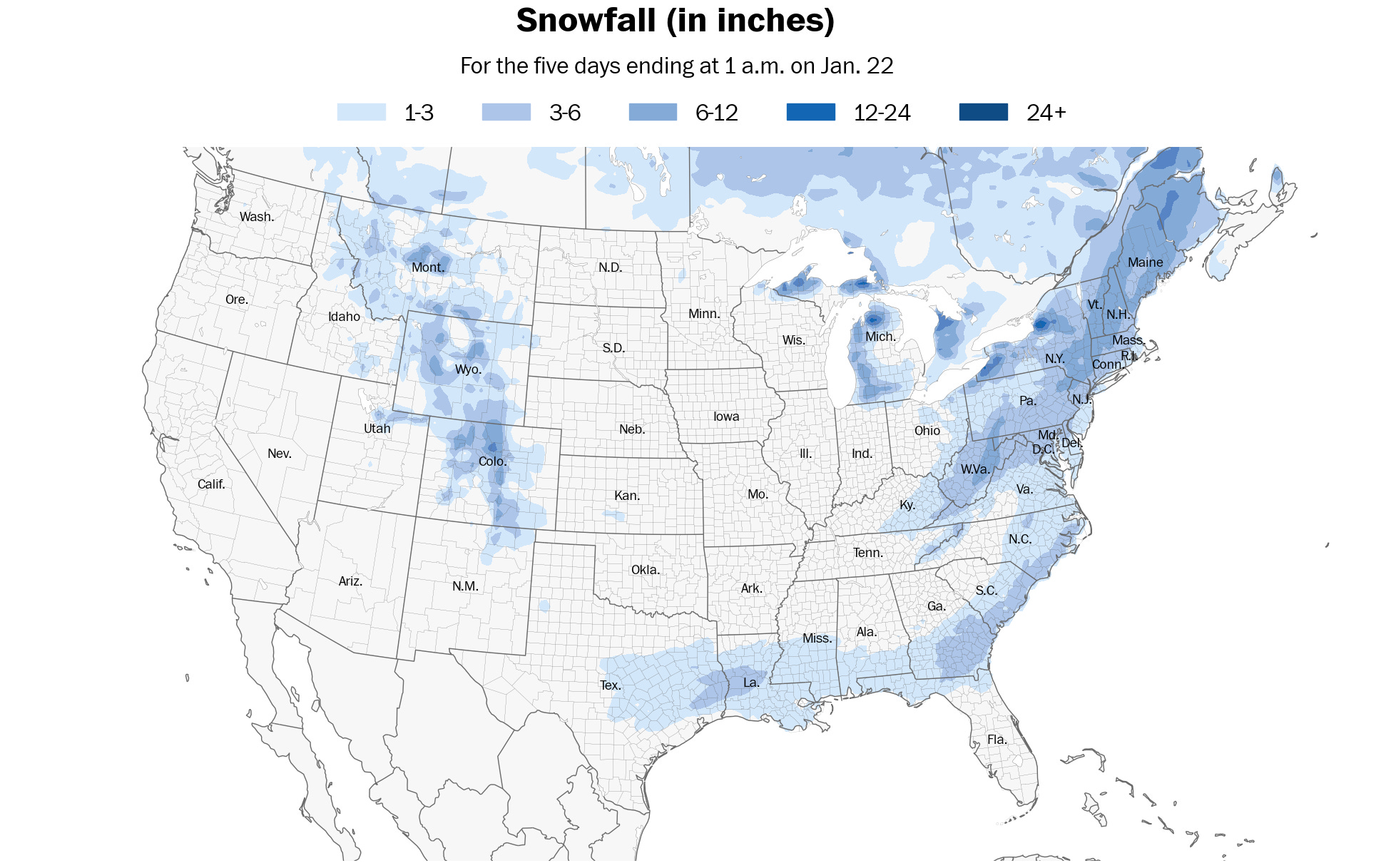
Seasonal snowfall is running below normal in the Hudson Valley.
And now, when it finally snows a decent amount, it will fall… on a weekend before a holiday.
It will be a “snow day” but not a snow day if you catch my drift.
What to know
What? Snow.
When? Sunday afternoon into the night. Ending early Monday morning.
How much? Most likely range: 2 to 4 inches. Some chance for more than 4 inches, depending on the exact storm track.
Impact? Snow is expected to develop during the afternoon hours on Sunday and fall at a moderate intensity during the evening. Temperatures will fall from the 30s to the 10s during the storm, with the snow becoming increasingly powdery. This will make it easy to clear — and easy for it to pile up. Roads will become snow-covered and slippery late Sunday into early Monday.
A lobe of the polar vortex will arrive early next week, bringing frigid, sub-zero temperatures. You can read about it my latest piece for the Washington Post: https://wapo.st/4hmM26B (gift link 🎁)
Check out this map showing the lowest temperature expected over the next 15 days:

For the Hudson Valley, next Wednesday morning looks coldest when it could dip to -5 to -10 degrees.
As the vortex swirls into the country, it is expected to spawn a winter storm across the Deep South on Tuesday and Wednesday, which could bring snow or ice to parts of Florida 🫨
Stay warm and cozy 🔥