Not as cold, watching Wednesday's snow chances
Update #638
Hello! How are you doing after a week of the polar vortex? Ready for some warmer weather, I would guess!
The temperature dropped below zero for six consecutive days in Montgomery this past week, dipping as low as minus 14 on Wednesday. That’s the longest streak since the notorious polar vortex winter of 2014-15 a decade ago, when it happened during February.
Such streaks are quite rare in the Hudson Valley. According to climate data from Poughkeepsie, which tends to have warmer overnight lows than Montgomery due to its proximity to the Hudson River, the last time a six-day sub-zero streak happened was in 1970.
All of the cold weather has led to some impressive ice coverage on the Hudson. Local meteorologist Andrew Calvi took these photos from the Walkway Over the Hudson on Thursday.


On Sunday, temperatures in the region will rise above freezing for the first time in a week.
The week ahead is looking seasonably cold rather than downright Arctic, though Thursday looks impressively cold. A clipper system is forecast to swing through the region on Wednesday, potentially bringing morning snow — school delays are possible.
Despite all of the cold weather that January has brought, snowfall so far this season has been near or somewhat below average in the Hudson Valley. Believe it or not, New Orleans, Louisiana and Pensacola, Florida have experienced more snow than New York City! You can read more about this weather oddity in my latest story for the Washington Post.
The week ahead
The week ahead will be cold and windy with a few chances for snow. Wednesday has the greatest chance for accumulation, depending on the storm track. Another storm could bring wintry precipitation next weekend, but it’s too early for reliable details.
Monday: sunny, but the wind will make it feel cold
Tuesday: chance for a morning flurry or snow shower; otherwise, mostly sunny and windy ❄️
Wednesday: a period of morning snow possible with light accumulations, evening rain/snow showers ❄️
Thursday: very cold and windy with clouds and sun
Friday: not as cold with increasing clouds; some late-day precipitation can’t be ruled out
Saturday-Sunday: chance for a wintry mix (stay tuned for updates 🧊)
I’ll be in touch again as the forecast for Wednesday and the weekend solidify.
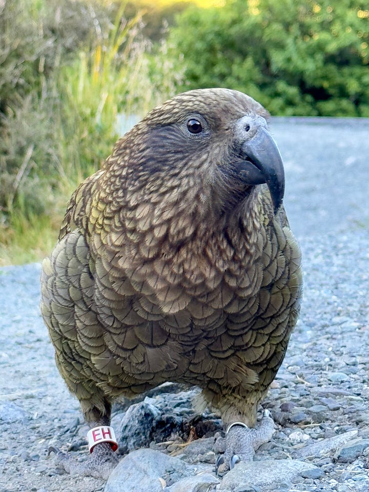
Our recent travels took us to one of New Zealand’s gems called Milford Sound. You may have seen my photos from this place before. No matter the season, it’s always spectacular! We were greeted by the locals, which are alpine parrots named kea.


I particularly enjoy dipping my GoPro into the glacial rivers to reveal the clarity of the water:
Hope your week flows smoothly ✌️
Looking ahead to the week of February 3rd…


