Wintry weather coming this week
Update #639
A rambunctious jet stream pattern is currently causing an atmospheric river, like a river in the sky, to slam into California.
Later this week, the effects of this fast-moving plume of wind in the upper atmosphere will spread eastward.
For the Hudson Valley, I’ve got my eyes on the potential for multiple winter weather events:
Sunday night: a period of accumulating snow
Wednesday night and Thursday morning: potential for moderate icing
Next weekend: chance for a wintry mix
It will be a nation of two halves this week — the jet stream will separate shorts weather in the South from nippy conditions in the North. 60s and 70s will occur in the Mid-Atlantic with 80s and even 90s across the South.
The Hudson Valley will sit firmly in the battleground between warm and cold, leading to topsy-turvy weather and big swings.
The week ahead
Three winter weather events may impact the region this week. The first will be a clipper system on Sunday night. The snow map below shows the potential for several inches of accumulation, especially north of I-84.
When? Starting between 5:00 - 7:00 p.m. Sunday. Ending between 1:00 - 3:00 a.m. Monday.
What? A period of moderate snow.
How much? 1-3 inches, highest north of I-84.
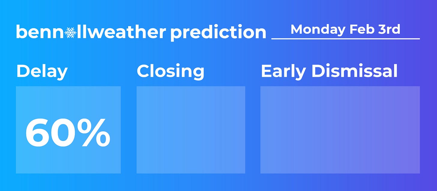
Impact? Snow will fall at a moderate intensity on Sunday night, leading to snow-covered and slippery roads that last into early Monday. The relatively early end time of the snow will give crews an opportunity to clear roads and sidewalks in advance of school starting. Still, a few extra hours may be needed for shoveling, plowing, and cleaning off busses, especially north of I-84 where 2-3 inch amounts are more likely.
Wednesday night, Thursday morning, late Saturday, and early Sunday could also have wintry precipitation.
Monday: awakening to 1-3 inches of snow; turning mild with a mix of clouds and sun
Tuesday: mostly sunny and windy
Wednesday: a cold morning; mostly sunny with a wintry mix arriving at night ⚠️
Thursday: a wintry mix possible; chance for moderate icing during the morning ⚠️
Friday: mostly sunny and windy
Saturday-Sunday: chance for a winter storm from late Saturday into early Sunday ⚠️
The week of February 10th will probably have more winter storms. Premium subscribers can keep reading for a preview!
For all the latest on school delay chances on Monday, follow along on Twitter and Facebook. I will continue to provide updates this week ✌️
Premium subscribers, here’s your outlook for the week of February 10th:


