
Heavy snow Saturday night; more storms next week
Update #639c

Hello again! This is my fourth weather update email this week. That’s a sign that things have been busy.
This update will give you an idea about what to expect on Saturday night and next week.
The short version: it’s going to be snowy (and icy) with three more storms on the horizon.
The next storm will arrive this weekend.
Snow will move into the Hudson Valley on Saturday evening, when road conditions will deteriorate rapidly. A winter storm watch will probably get upgraded to a warning soon.
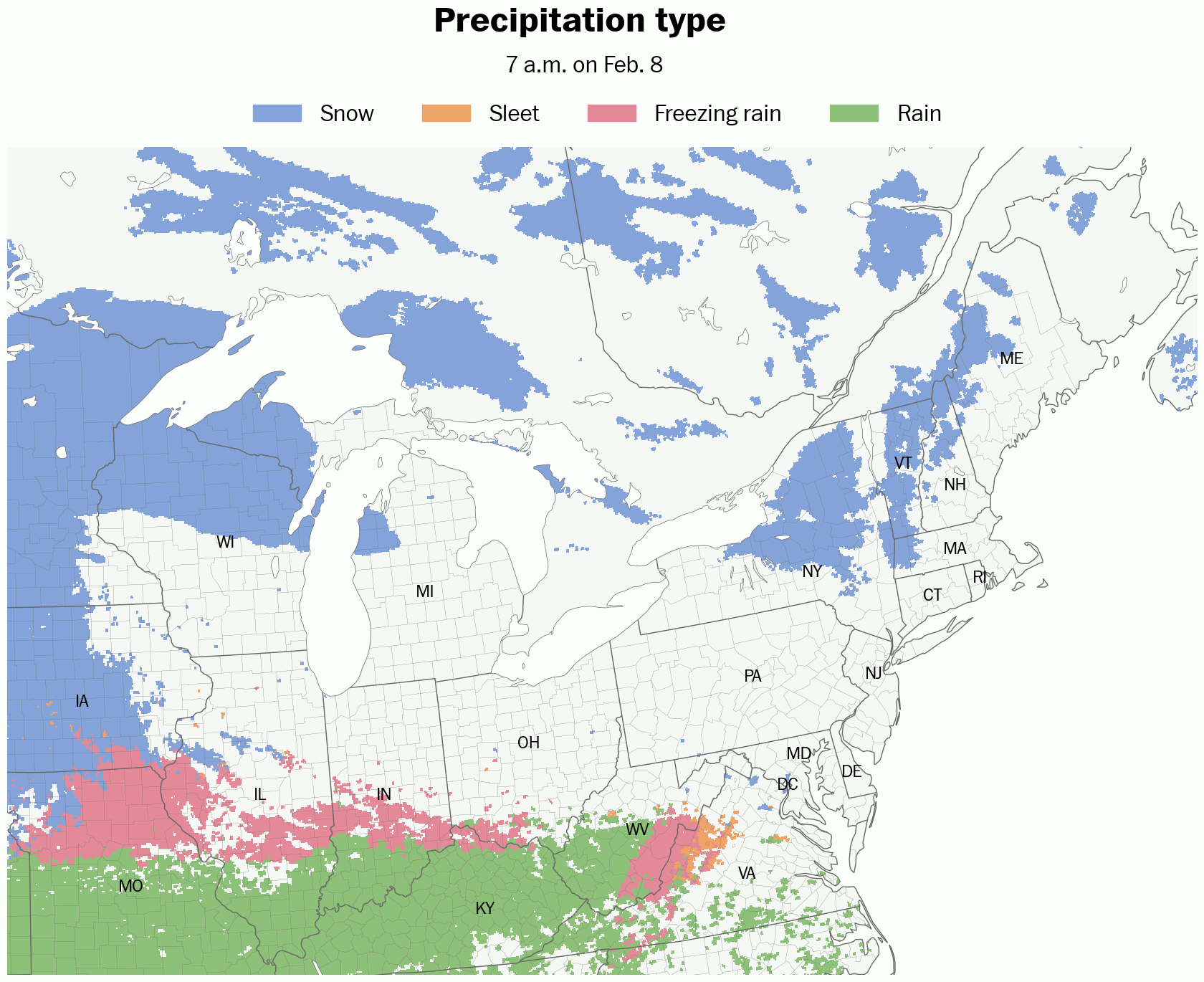
Saturday night
What? Snow, possibly mixed with sleet and freezing rain.
When? Starting between 6:00 and 9:00 p.m. Saturday evening. Ending by around 8:00 a.m. Sunday.
How much? 4-8 inches. Amounts will be on the lower end of the range if sleet and freezing rain mix with the snow, but on the higher end of the range if no mixing occurs.
Impacts? Roads will become slippery and snow-covered on Saturday evening and remain in poor condition into early Sunday. Above freezing temperatures on Sunday will cause melting and bring improving conditions.
Next week
There may be two significant winter storms that could cause school disruptions next week.
Late Tuesday into early Wednesday: A snow storm could cause early dismissals on Tuesday and delays and/or closures on Wednesday.
Thursday: A snow and ice storm could cause closures.
For an idea as to how much snow may fall, you can follow my snow tracking bot on Twitter.
And if you’re having fun tracking the possible snow days, spread some snow day cheer and grab some merch! Try promo code “snowday” for a discount.

More to come! ❄️
Funny that '"snowday" is the discount code. I am a retired teacher but still love snowdays! Site of the Super Bowl New Orleans was 81° yesterday speaking of temperature dichotomies.