
Near the edge of Tuesday's storm; wintry mix Wednesday night
Update #640a

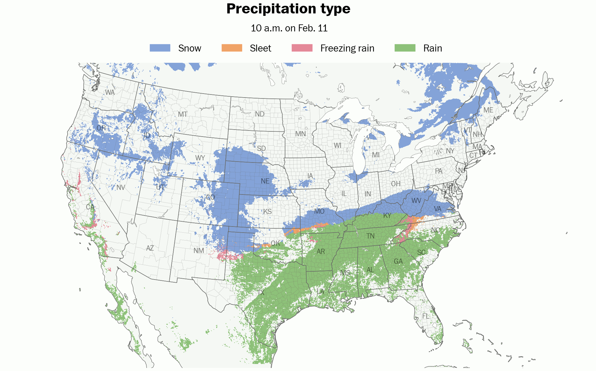
A trio of storms is swirling across the United States this week, with many states expecting hazardous weather in the days ahead.
Tuesday night: light snow possible
On Tuesday night, the Hudson Valley will find itself near the edge of a storm that will bring accumulating snow to the Mid-Atlantic.
It’s unclear if the northern edge of the storm will reach far enough north to affect the Hudson Valley, but if it does, a dusting to a half inch of snow could fall south of I-84 during the overnight hours.
I don’t think this will be enough to cause school delays on Wednesday in most places, but I couldn’t entirely rule them out for Rockland and Westchester Counties.

I’ll be keeping an eye on things overnight. Follow along on Twitter and Facebook.
Wednesday night: an icy mix expected
On Wednesday night, an icy mix of snow, sleet, and freezing rain is forecast to move into the Hudson Valley with temperatures in the upper 20s and lower 30s.
This will cause a higher chance for delays on Thursday, with slick conditions lingering until the start of the morning commute.
The National Weather Service wrote that “untreated roads may be snow and ice covered Wednesday night into the Thursday morning commute.” A winter weather advisory may be issued for the region.
What? A wintry mix of snow, sleet, and freezing rain.
When? Starting between 6:00 and 10:00 p.m. Wednesday. Ending by 8:00 a.m. Thursday.
How much? A coating to an inch or two of snow and a glaze of ice.
Impact? Roads will probably become slippery on Wednesday night. While there won’t be a lot of precipitation, there will probably be just enough to trigger school delays on Thursday. Conditions should improve after sunrise Thursday as temperatures rise above freezing.


Another storm could bring a wintry mix starting on Saturday afternoon.
Stay tuned for another update tomorrow morning!