
Wintry mix Wednesday night, more snow Saturday
Update #640b

Hello once again!
A winter weather advisory runs from Wednesday evening through early Thursday morning for light snow and ice in the Hudson Valley. It covers all counties.
This week, the Hudson Valley has found itself on the edge of winter storms rather than in the middle. This has made predictions a little trickier.
The same can be said about Wednesday night, when the region will get light wintry precipitation that probably won’t add up to much but could make things slick for a time.
Wednesday night
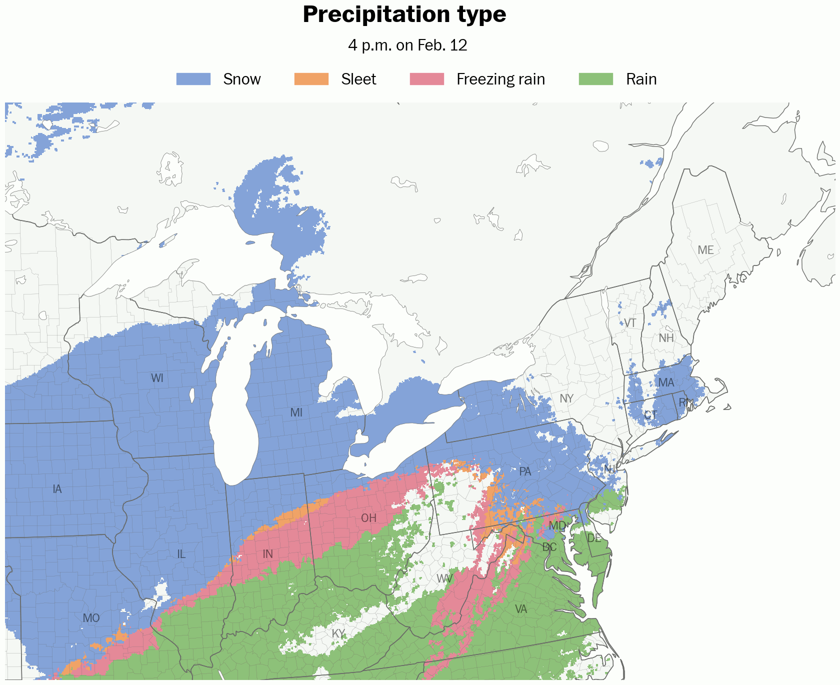
What? A wintry mix of light snow, sleet, and freezing rain.
When? Starting between 6:00 and 10:00 p.m. Wednesday from south to north. Ending by 9:00 a.m. Thursday.
How much? A coating to an inch of snow and sleet and a glaze of ice.
Impact? Roads will probably become slippery on Wednesday evening as pockets of wintry precipitation develop, remaining that way into the early hours of Thursday. The highest chances for school delays will be in the Catskills where freezing temperatures will linger the longest. In the Hudson Valley, the odds are closer to a coin toss because of the light nature of the precipitation and marginally cold temperatures. Temperatures will rise above freezing as daybreak approaches, leading to improving conditions on the roads.

Saturday
A more robust storm will move into the region on Saturday… on the weekend, again! Here’s a forecast preview:
What? Snow changing to a wintry mix.
When? Beginning late Saturday morning or in the early afternoon.
How much? Several inches of snow followed by a glaze of ice.
Impact? No school on Sunday 😏
The polar vortex will return early next week. I’ll be in touch.