
Here comes some warmth!
Update #650: After a cool start to April, it's turning much warmer in the Hudson Valley.

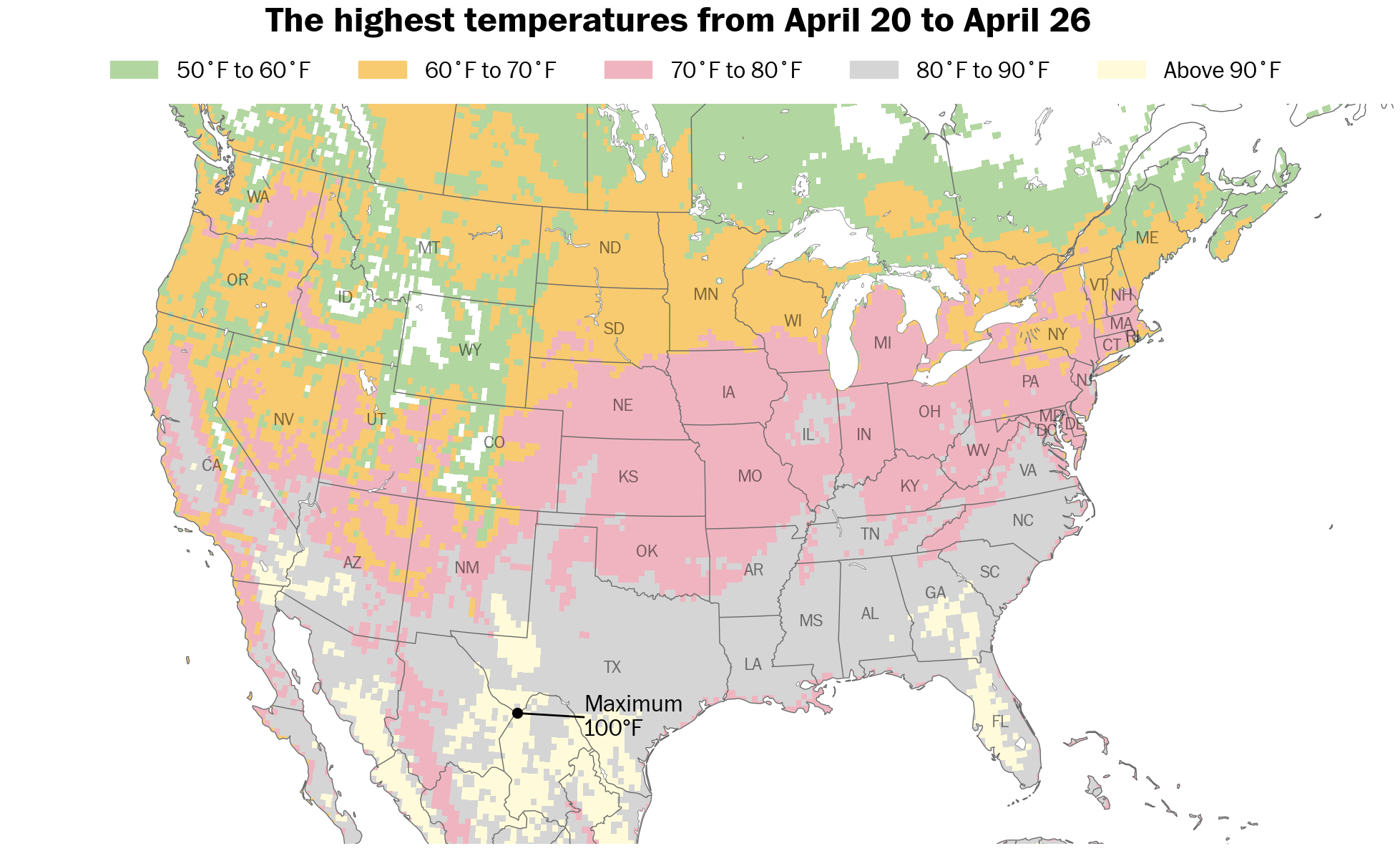
New York has been one of about twenty states to have below average temperatures so far this month.
The weather on Saturday bucked that trend, as Poughkeepsie reached 87 degrees — the warmest conditions since last August.
The warm trend will continue this week, after Sunday and Monday at least, as temperatures surge into the 70s.
Winds have also been stronger than normal so far this month, and while Sunday will be windy, the week ahead won’t be as gusty for a change.
Rainfall looks sporadic, doing little to help a moderate drought that developed last fall.
But, overall, spring is hitting its stride in the Hudson Valley.
The week ahead
The week ahead will have temperatures more typical of May than April, especially from Tuesday to Friday.

Monday: probably the coolest day of the week; some sun, followed by increasing clouds and showers at night
Tuesday: early clouds giving way to sun; warm with temperatures reaching well into the 70s
Wednesday: not as warm as Tuesday, but pleasant with abundant sunshine
Thursday: plentiful sunshine
Friday: remaining warm with showers possible, mainly later in the day
Saturday-Sunday: showers possible Saturday as a front blows through, then drying out and turning breezy
Despite a breeze on Tuesday and Sunday, winds this coming week aren’t expected to gust above 40 mph for a change.

The week of April 28 looks to have more mild to warm conditions.
If you’re up for some more reading, you can check out my interactive story in the Washington Post about the upcoming turn toward warmer weather.

Spring is hitting its stride! Enjoy.
Beautiful! Stay safe!