
Swiped by snow this weekend
Update #683c: More snow will swipe the Hudson Valley late Saturday into Sunday.

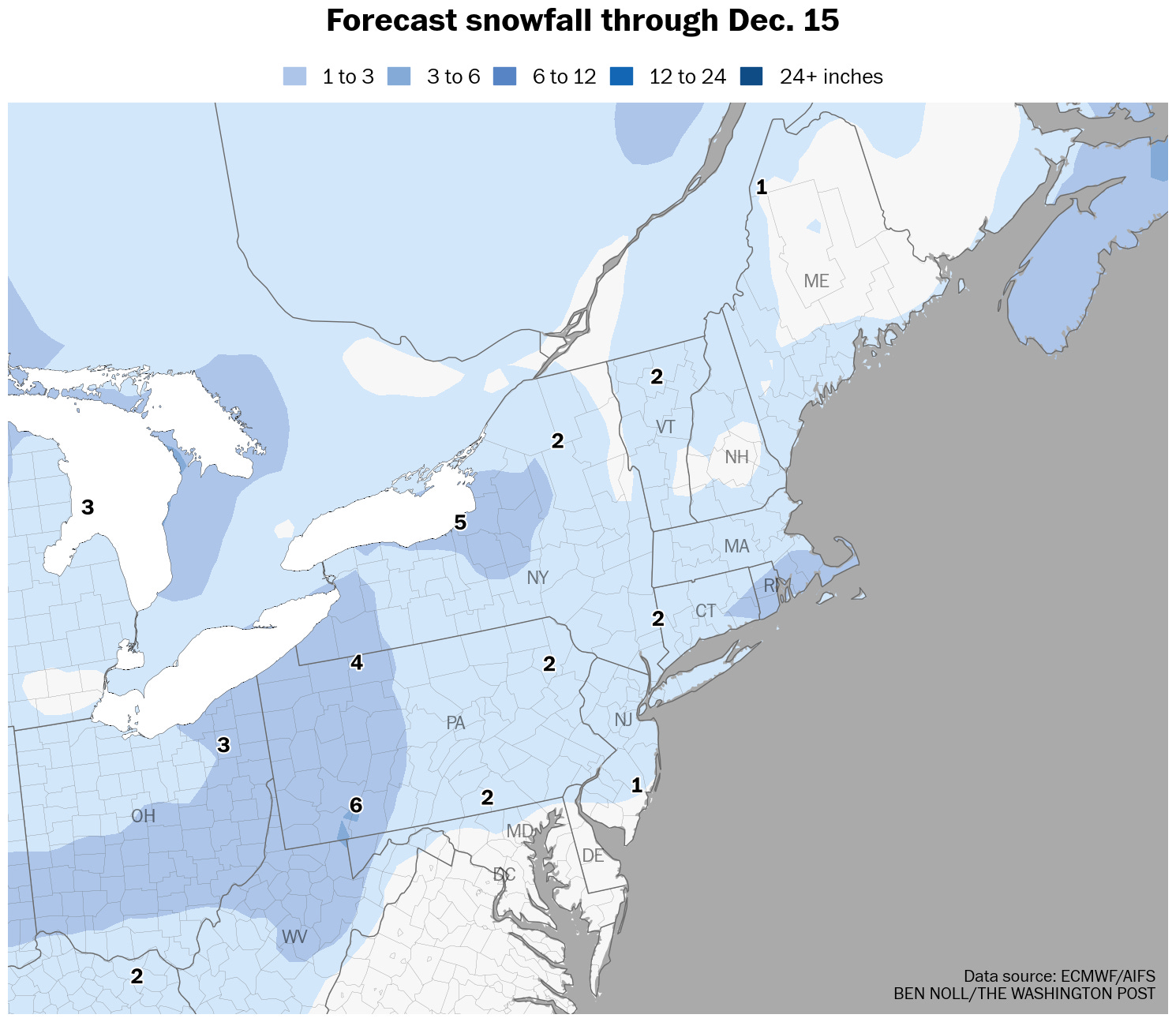
There will soon be more snow in the Hudson Valley, as an Arctic cold front crosses the region late Saturday into Sunday, tapping into moisture from the Atlantic.
A weekend storm, the bane of snow day lovers.
It also might be the last snow for a little while, as milder air returns next week.
There’s still some uncertainty in exactly how much will fall.
Timing
Saturday night into Sunday morning.
Amounts
Snowfall of 1 to 3 inches is mostly likely at this point. Amounts will be determined by the speed of the storm. Unlike past storms, there will be more snow closer to New York City, with lesser amounts to the north, such as north of the I-84 corridor.
Impacts
With temperatures falling into the 20s, snow-covered and slippery roads will develop on Saturday night and linger into Sunday. Because temperatures won’t rise above freezing for several days, icy conditions will persist in untreated areas after the storm departs. Conditions should generally improve during the day on Sunday, although blustery winds could blow snow around.
If you have travel plans, give yourself extra time on Sunday morning.