
Weekend snow update
Update #683d: The Hudson Valley will have accumulating snow and slippery roads from Saturday night into Sunday morning.

Hello again! There will be snow in the Hudson Valley from Saturday night into Sunday morning, leading to snow-covered and slippery roads.
If Sunday was a school day, you’d probably have at least a delay 🤷♂️
This time, there will be more snow closer to New York City and less farther away. As of early Saturday, the National Weather Service had issued a winter weather advisory for Westchester County.
Timing
Snow developing between 8 p.m. and 11 p.m. on Saturday night and ending between 8 a.m. and 11 a.m. Sunday, from west-to-east.
Amounts
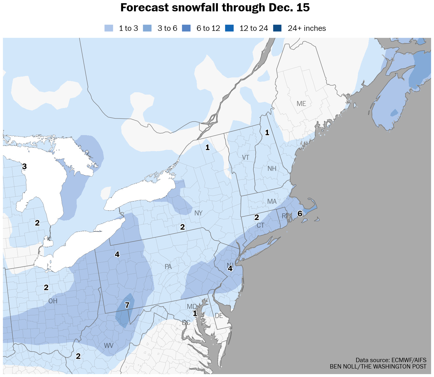
Snowfall of 1 to 3 inches is expected for most of the region. The highest amounts will be found south of I-84 and closer to New York City, with lesser amounts to the north.
Impacts
With temperatures around 30 when wet snow starts to fall on Saturday evening, roads will become rather slick. Moderate snow intensities should cause roads to become snow-covered, lasting into Sunday morning. Because temperatures won’t rise above freezing for several days, icy conditions will persist in untreated areas after the storm departs. Conditions should generally improve by mid-to-late Sunday morning, although blustery winds could still blow snow around.
If you must travel during the snow, give yourself extra time and try to avoid side roads and hilly areas if possible.