
More snow Sunday
Update #688c: A coastal storm has trended west, putting the Hudson Valley in its path.

Well, that escalated quickly. After a solid 2 to 5 inches of snow across the wider Hudson Valley on Saturday, more snow is coming on Sunday.
A coastal storm has trended west, putting the region in its path. This trend is happening in ‘real time’ and it’s still uncertain just how far west it will come.
Regardless, snow looks likely.
If Saturday and Sunday were school days, you could have had back-to-back snow days!
Timing
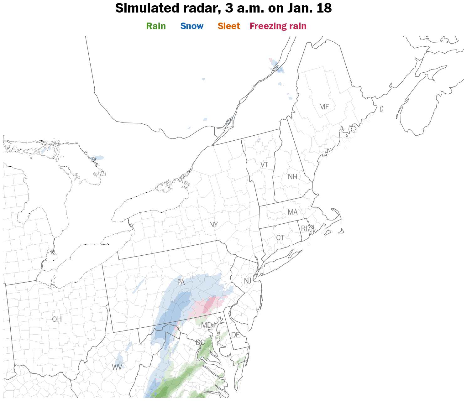
Snow is expected to start between 3 a.m. and 6 a.m. Sunday and may not entirely end until after 10 p.m.
Steady, light-to-moderate snow is expected throughout the event, with intensities dependent on just how far west the storm tracks.
Amounts
Snowfall of 2 to 4 inches looks most likely, with a higher-than-normal uncertainty factor, depending on the western extent of the storm.
A more western track would yield more snow.
Impacts
Snow covered and slippery roads are expected to develop before sunrise on Sunday, remaining slick throughout the day as temperatures rise to near freezing.
Temperatures are forecast to drop rapidly into the teens on Sunday night, leading to icy conditions come Monday morning.
Another update will arrive on Sunday morning. Stay safe!
Excited you're here too!