
Wet snow possible Thursday
Update #696a: That four letter word is back again ❄️

Welp. That four letter word is back again ❄️
S***
Not even an 80-degree day could scare it away. But it will make it harder for snow to stick!
The temperature will drop from 70 to 40 on Wednesday night as a strong cold front rips across the Hudson Valley.
By late Thursday morning, temperatures will be in the upper 30s and the atmosphere will be cold enough to support snow.
Any snow at that point will melt on contact.
But during the mid-to-late afternoon hours, perhaps coinciding with the commute, there’s a chance for a period of steadier snow in the Hudson Valley.
It’s not locked in, but it could bring a light accumulation to grass and car tops — and in a worse case scenario, a little slush on the roads.
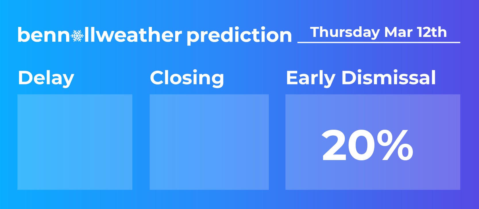
Because of the tenuous nature of the event, I hesitate to issue these percentages, but alas, I must say there’s a 1-in-5 chance for early dismissals on Thursday — mainly in the Catskills where it will be colder and in mountainous areas east of the Hudson River, such as eastern Dutchess County, where it will be colder and snow could fall harder.
Even in those places it might not — and probably won’t — amount to much, but it always pays to be aware of the possibility.
A little more snow could reach the region on Friday afternoon and again Sunday, but impacts, if any, look minimal 🙃