
From 90 degrees to a freeze 🎢
Update #702: Change is the only constant during spring.

Well, it was nice while it lasted.
It reached 90 degrees in parts of the Hudson Valley on Thursday during a four-day stretch with temperatures reaching 80 or higher.
And now, well, even a stray flurry can’t be ruled out in the days ahead as an Alaska-sourced chill arrives in the region.
Weather swings are normal during spring, but a change of almost 70 degrees in a matter of days is next-level stuff. Especially for your temperature-sensitive plants!
The week ahead
The week ahead will deliver a dose of the realities of spring to the Hudson Valley.
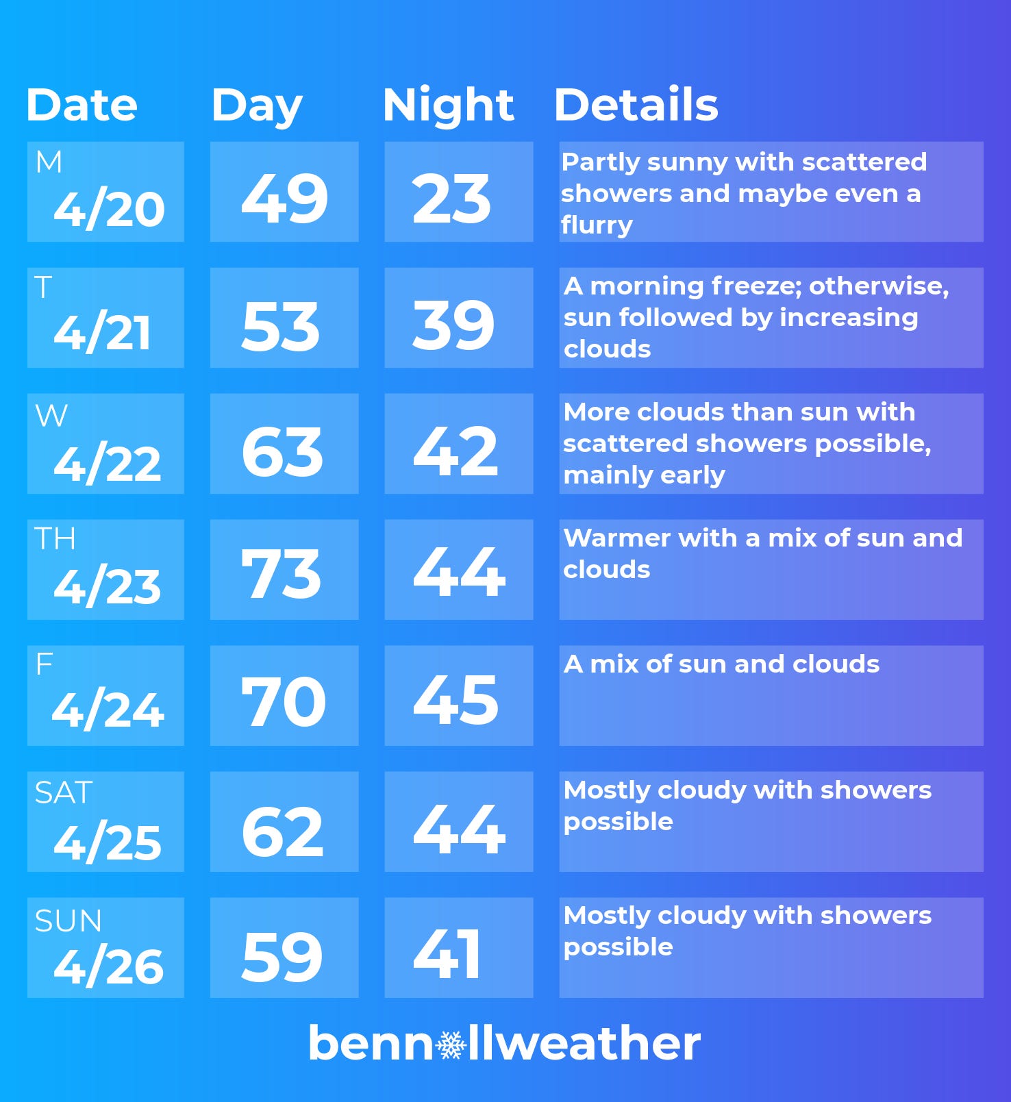
Monday: cool with isolated showers and maybe even a flurry!
Tuesday: near-record low morning temperatures; sun to start, then some more clouds arrive
Wednesday: a few showers possible, mainly early; otherwise, clouds limiting sun
Thursday: warmer with a mix of clouds and sun
Friday: it could turn out decent — if the rain holds off, which is currently uncertain
Saturday-Sunday: more clouds and increasing chances for some rain, but amounts and timing are currently uncertain
Looking ahead to the week of April 27, more unseasonably cool air may drift toward the region. Summer-like warmth looks like it’s a long way away.
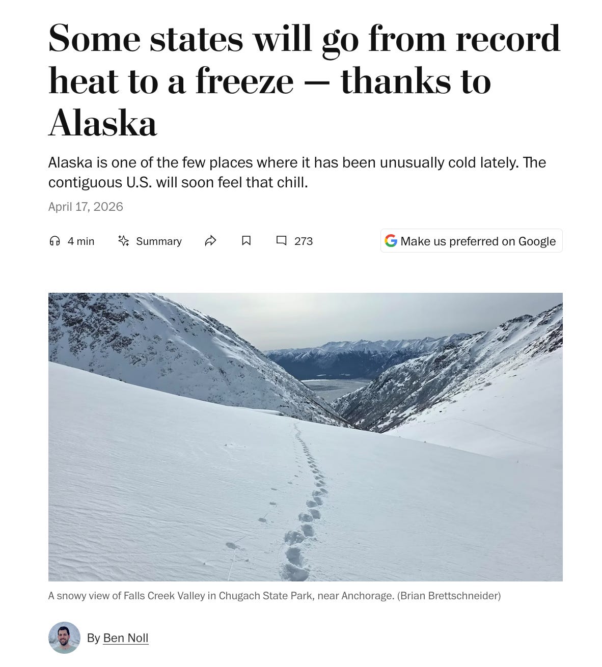
For a little more reading about the coming chill, check out my story in this week’s Washington Post: Some states will go from record heat to a freeze — thanks to Alaska.

Hold on tight for Mother Nature’s wild ride ✌️
I have a question. If our area is controlled by the so-called 19 families, are they causing the cold in the areas that normally are not cold or is that really our weather or is it made up weather by the elites?