

After hours of steady rain, temperatures have started to drop across the Hudson Valley as of late Thursday evening.
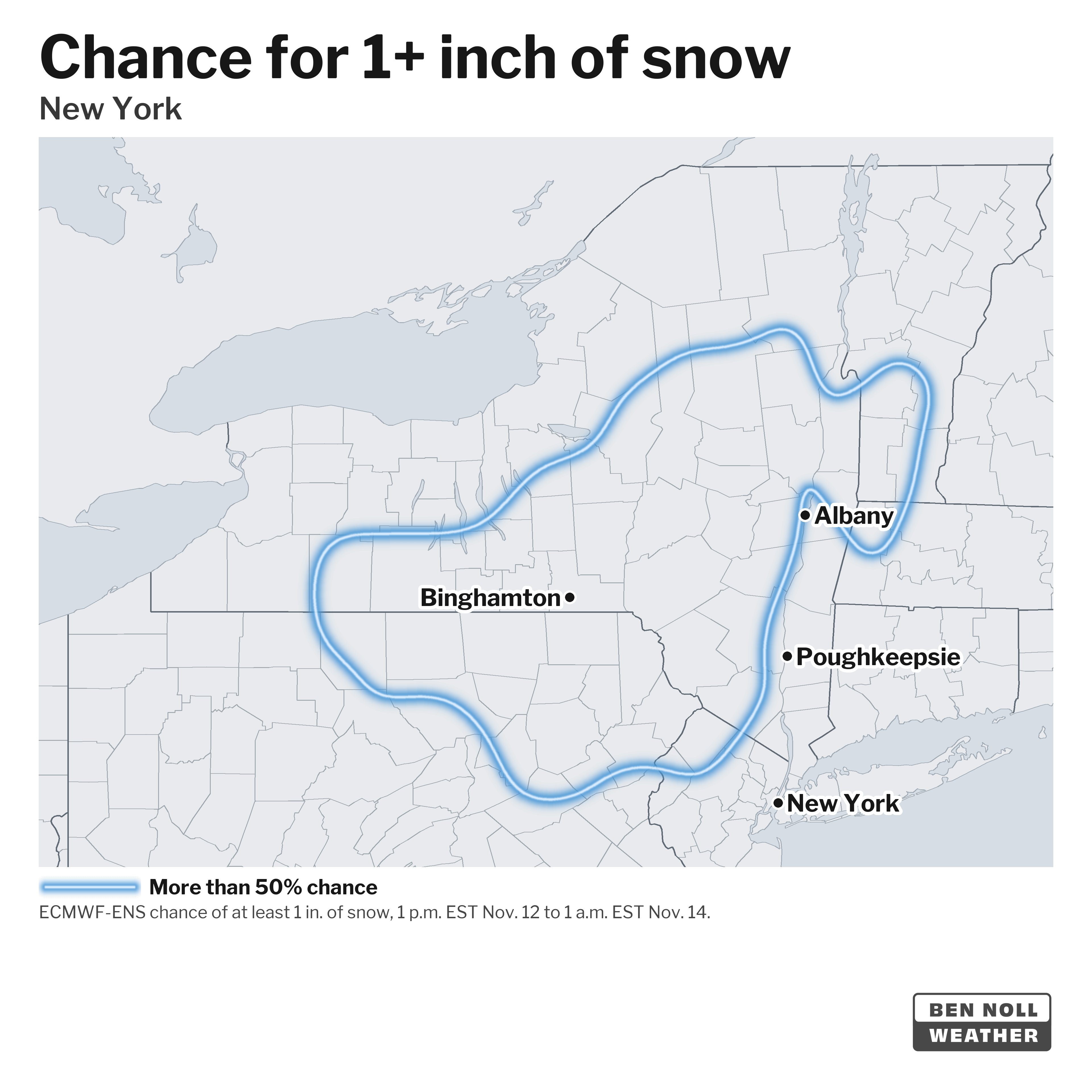
Temperatures are forecast to dip into the mid-30s by Friday morning, and between 3 a.m. and 5 a.m., lingering rain is expected to mix with and potentially change to snow across Orange, Ulster, Sullivan, and Dutchess Counties.
While roadway accumulation remains unlikely in most places because of above-freezing temperatures, there is a new development worth pointing out.
A few, typically reliable, forecast models show a narrow corridor of steady snow developing across parts of Orange County south of I-84 and northern New Jersey toward daybreak Friday and lasting through much of the morning. If this were to occur, there would be a chance for slushy and slippery accumulations on roads and sidewalks in places near this band.
Several other models don’t show this happening, and on the balance of evidence I’d rate the chances as low — but strengthening coastal storms are certainly capable of producing such bands, which can generate surprising, school-delay-or-closing-inducing snow.
Let’s see what the morning brings.