

Plenty of sunshine. Dry conditions. Highs in the 60s.
That’s probably not the first thing that comes to mind when you think of mid-to-late November, but we’ll take it!
After the season’s first snow covered a narrow swath of southern Orange County on Friday morning [see the photos], there will be no such wintry weather this week.
Instead, it will get progressively warmer as the week goes along with a strong and slow-moving high pressure system anchored near the Eastern Seaboard.
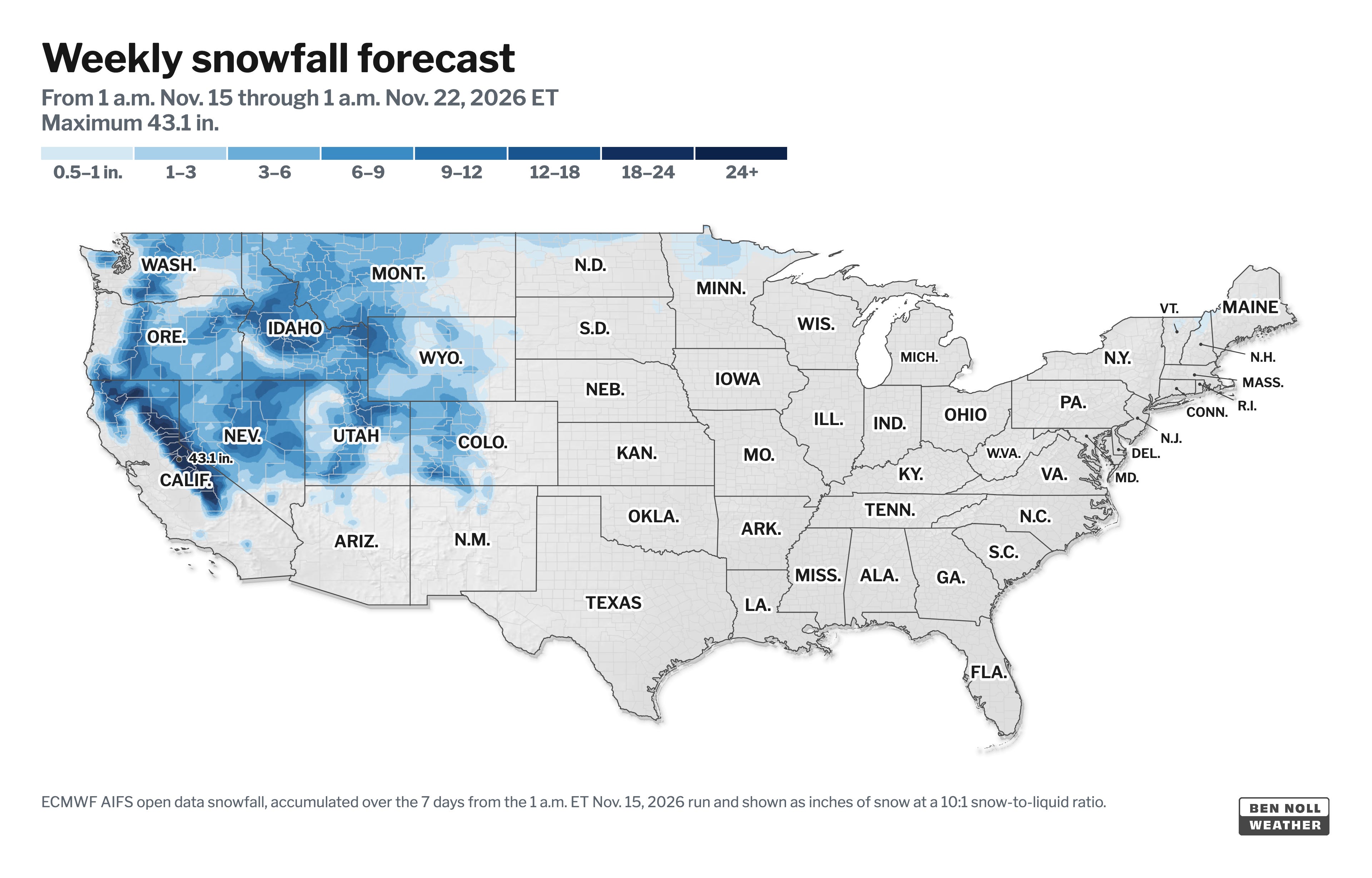
On the opposite side of the country, it will be cold and snowy across the Mountain West.
The week ahead
Crisp mornings will turn into mild afternoons with plenty of sunshine.
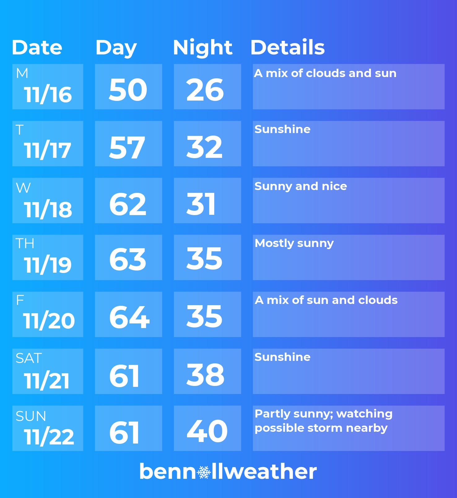
Monday: the coolest day of the week, still some clouds hanging around
Tuesday: abundant sunshine, milder
Wednesday: milder yet with sunshine
Thursday: warmer, sunny again
Friday: still mild; a front could bring a few extra clouds and a breeze
Saturday-Sunday: more high pressure for the weekend; watching for a possible coastal Sunday, though its track is currently uncertain
Looking ahead to the week of November 23 — the big Thanksgiving week — and it doesn’t look as warm as this week. There are some signs that the chances for storm(s) will increase as the week goes along, but it’s unclear which days will be unsettled at this point.
It may mark the beginning of a long-anticipated El Niño pattern that ushers a stormy winter along the East Coast.
Stay tuned!
November in the 60s is lovely, though anything past day ten is an ensemble that hasn't signed anything yet. How much weight do you give the El Niño storm-track hint for Thanksgiving week?