👋 Hello, 80s! Warm week ahead
Update #602
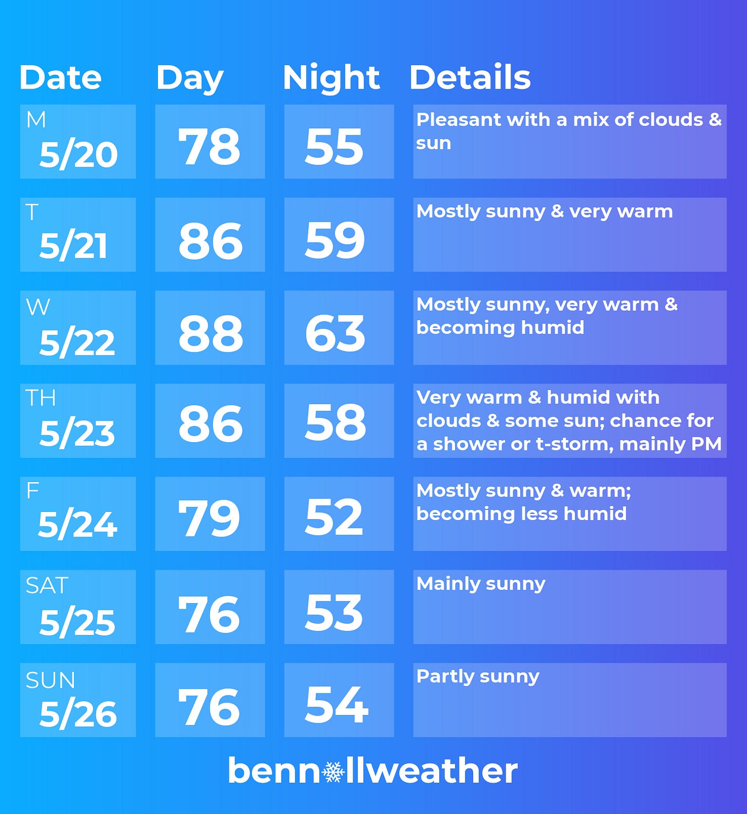
Temperatures are trending up this week in the Hudson Valley with several consecutive 80+ degree days in the forecast.
This will likely be coupled with dry conditions, at least until Thursday.
We’ve waited for this kind of weather for a while! It’s finally here 🙌
The region’s air mass this week has originated in the Southwest, near Arizona, and will flow across most of the country en route to the Northeast and Hudson Valley.
With this week’s summer preview, you might be wondering what next season has in store. I’ve got you covered! Check out my just-released Hudson Valley summer outlook by clicking below.
Hudson Valley summer: stunner or bummer? 🌞
The unofficial start of summer, Memorial Day weekend, is a week away! With temperatures currently in the 60s, Mother Nature isn’t playing the part. While it will turn warmer in the week ahead, there will likely be another cooler change or two before summer-like temperatures become more firmly established.
Monday: nice start to the week with a good deal of sun
Tuesday: heating up! well into the 80s with plenty of sunshine 📈
Wednesday: very warm with increasing humidity 🌡️
Thursday: warm and humid, chance for a shower or thunderstorm, possibly strong, mainly after noon ⚡
Friday: still warm, but becoming less humid with sunshine
Saturday-Sunday: at this point, the weather is most likely to be dry and comfortable, but with weather systems both to the south and west, the forecast bears monitoring
Looking ahead to the week of May 27th, conditions look rather warm and potentially humid to start, followed by a possible late-week cool down. There’s likely to be some wet weather too.
🍂 Hello… fall ⁉️
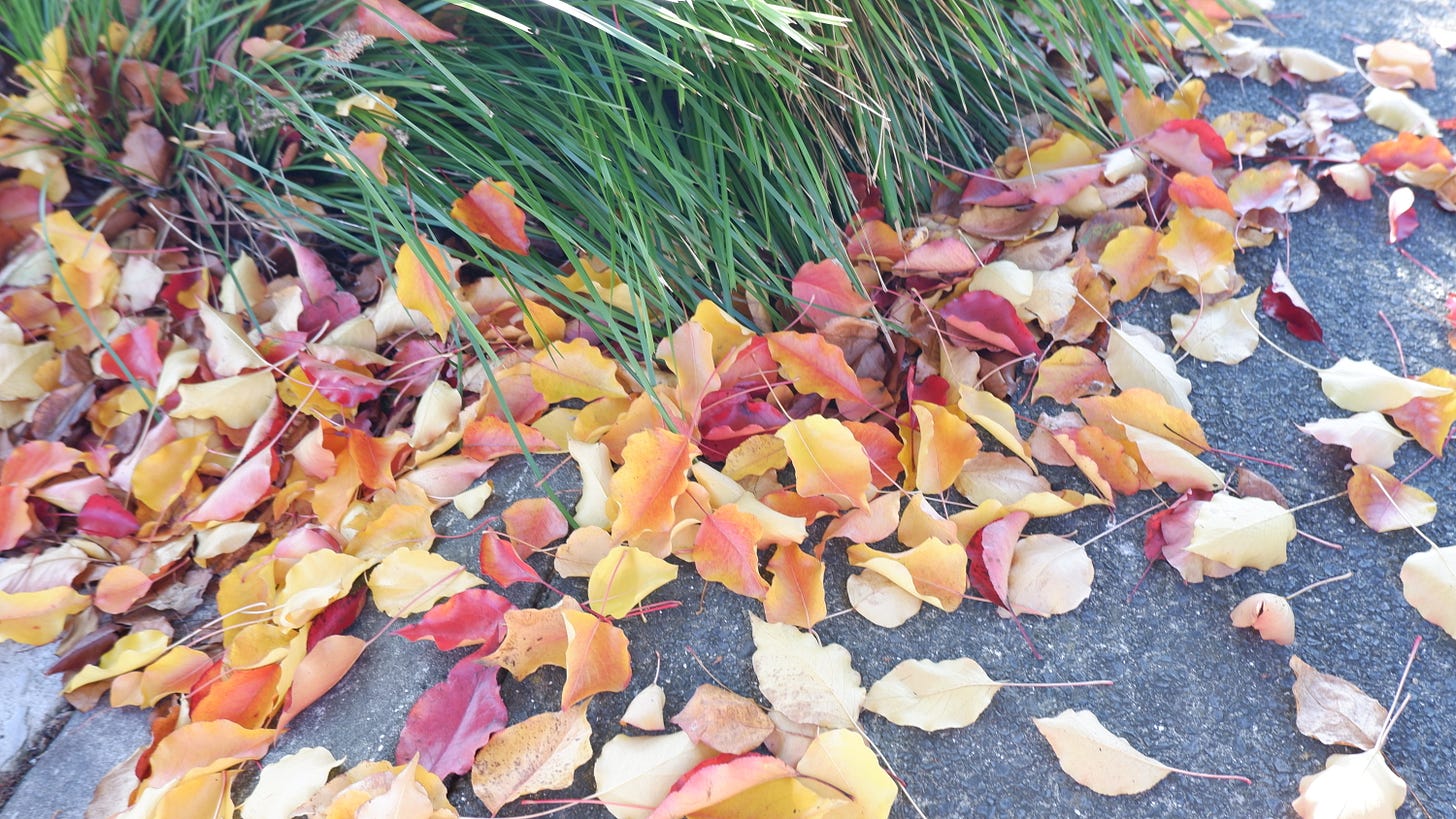
Here in northern New Zealand, we’ve been treated to a cool, dry fall. This has led to some remarkable leaf color for this part of the country, some of the most vibrant I’ve seen since arriving in 2016. It’s certainly not up to “New York in the fall” standards, but it’s nice.
The temperature in my part of Auckland dipped to a super chilly 30˚F last week. 20s are very rare here. The days have generally been in the mid 60s.
For us, meteorological winter is less than two weeks away and generally speaking, it’s not looking like a chilly autumn will translate to a particularly cold winter.
Enjoy the summer-like weather this week! ✌️


