
Here it comes ❄️
Update #689a: A big snowstorm is looking increasingly likely to hit the Hudson Valley on Sunday and Monday.

Oh boy. It’s going to be a busy week.
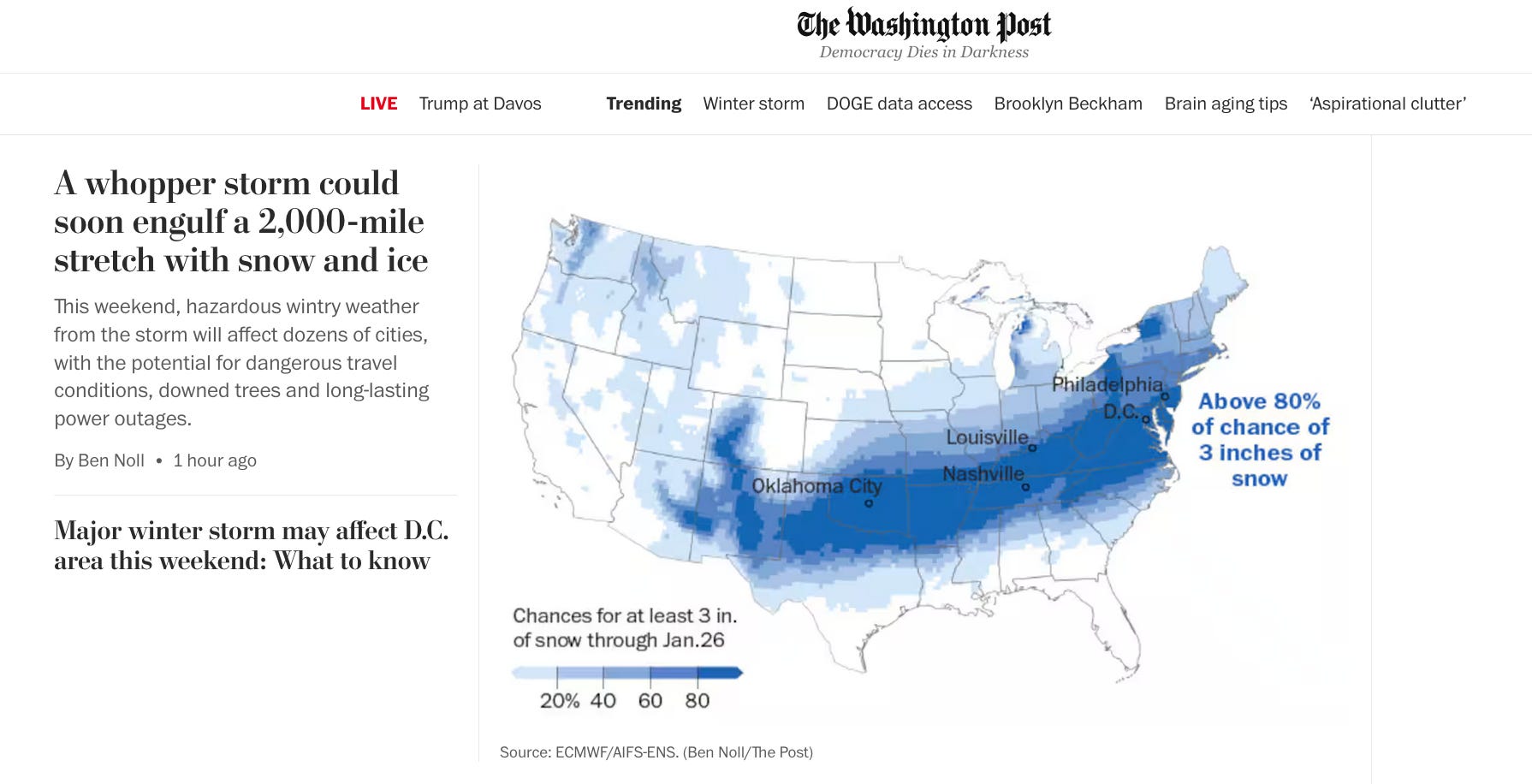
It’s not hyperbole to call this storm a monster. At its peak on Sunday, 55 percent of all people in the United States are forecast to simultaneously experience snow, sleet or freezing rain. That’s more than half the population, at the same time.
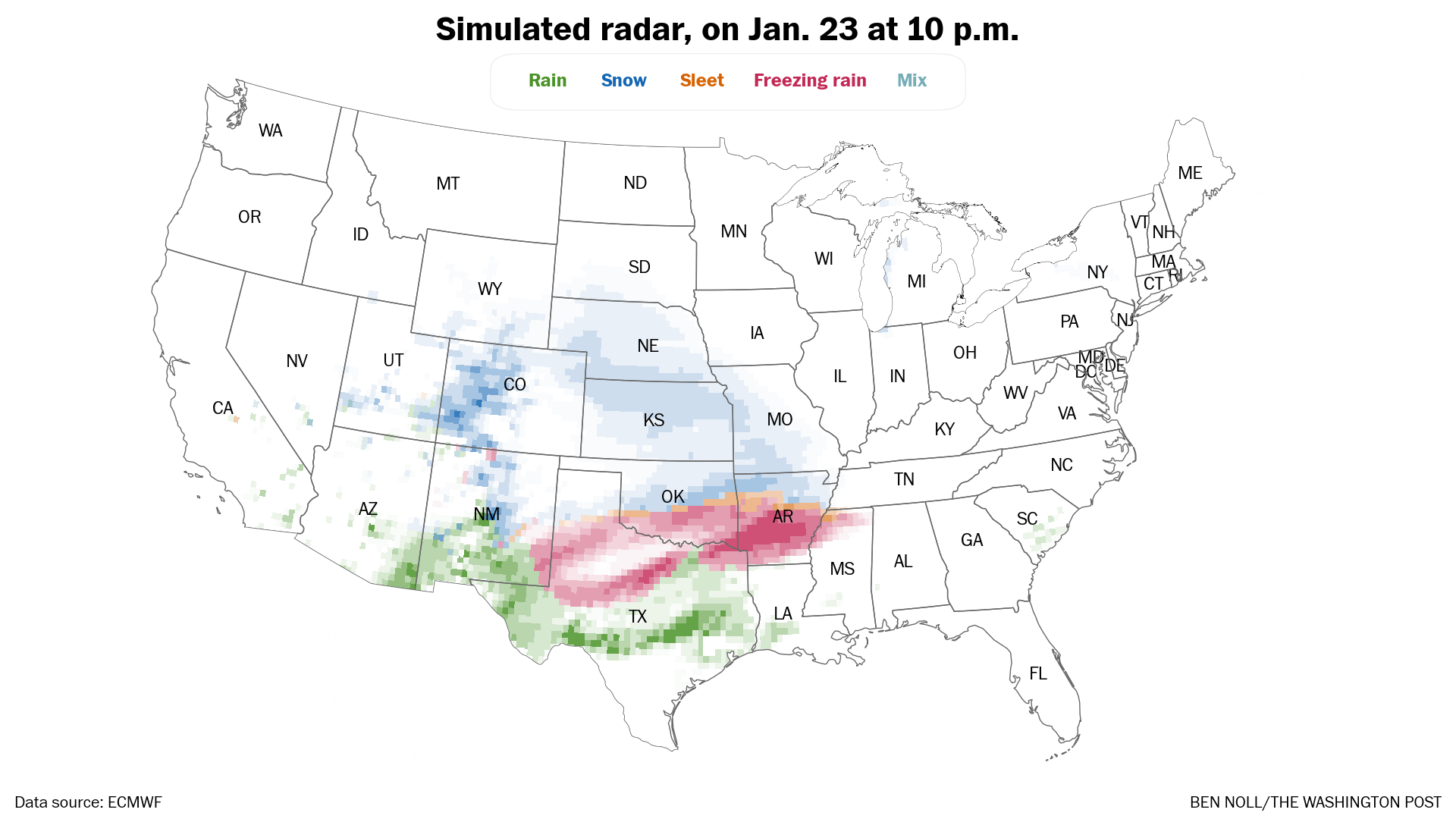
There will be snow, lots of it, for lots of people. But that’s not the most concerning part: it’s the ice. Large and destructive ice accretions look possible in a swath from Texas to North Carolina this weekend.
My national-level briefing for this storm is on the front page of today’s Washington Post [gift article 🎁]!
And to top it all off, the storm is trending north. You know what that means.
For the Hudson Valley, the prospect of snow in January is not unusual. But to have heavy snow arriving on Sunday morning when the temperature is forecast to be just above zero… is very unusual.
Because of these frigid temperatures, there will be little moisture in the air, promoting some of the most powdery snow you’ve ever seen. It could be like the Blizzard of 1996 in that regard — the temperature hovered between 5 and 10 in Poughkeepsie on January 8th, 1996.
Only a southward trend could spare the Hudson Valley from a big dump of snow at this point — something that is becoming less likely as the storm draws closer.
Timing
Snow beginning early Sunday morning and continuing into Monday.
Amounts
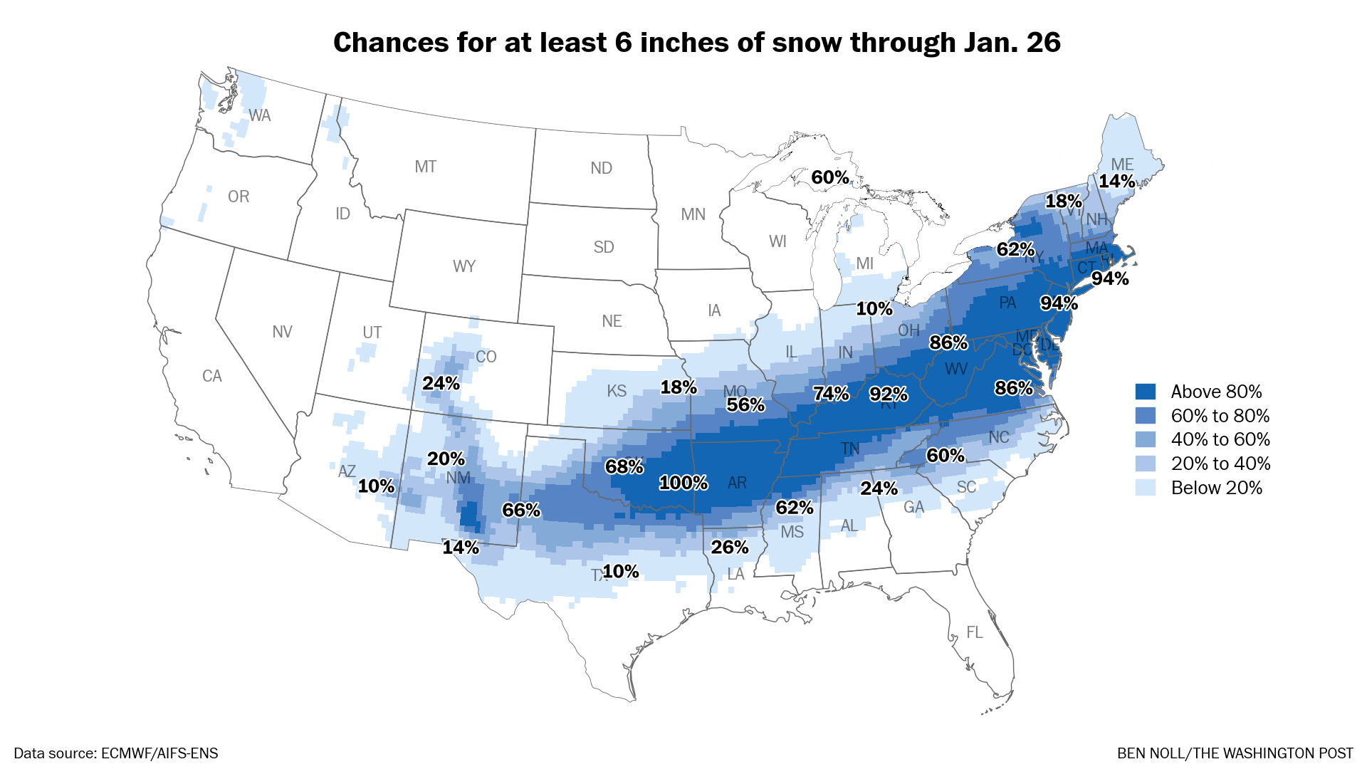
A significant snowfall of more than six inches looks likely. If the region sits among the storm’s heavy snow bands, which is looking more likely, more than a foot of snow will easily accumulate.
Here’s a probabilistic breakdown of the potential accumulation ranges in the region:
≥ 1” : 98%
≥ 3” : 98%
≥ 6” : 96%
≥ 9” : 92%
≥ 12” : 82%
≥ 18” : 36%
≥ 24” : 6%
Impacts
Deepening snow cover on Sunday may make some roads impassable. School closures seem possible if not likely on Monday. Fortunately, New York is pretty resilient to such things, so conditions should improve early next week once the temporary glaciers are cleared.
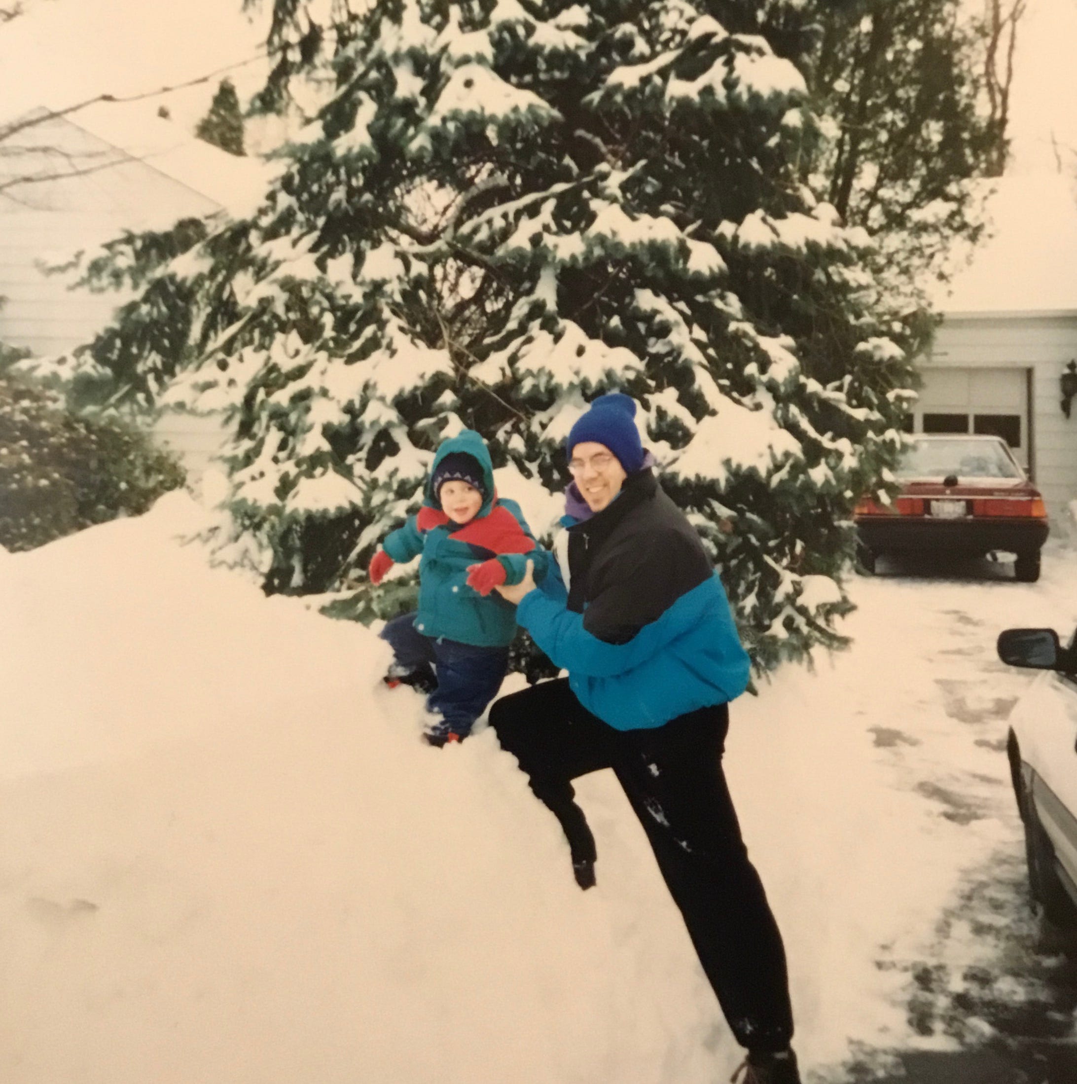
For some people, the impact will be different. It may be the storm that sparks the next generation’s interest in meteorology across parts of the United States. For me, that was the Blizzard of 1996 and the Superstorm of 1993.
Oh boy. It’s going to be a busy week.
Thank you as always . Hopefully it will not go above 10 inches with little ice and wind . Am I asking for too much? Lol
Thank you, Ben, for your excellent and spot-on forecasts and warnings. Time to get everything ready for the big event. Make sure you have food, water, batteries, candles and matches, etc. ready incase you need them. Charge your cell phones and any other devices that may need it. Be safe and do NOT over do it shoveling snow!!!! Take your time and rest in between... Your health is most important!